Download
1 / 13
130 likes | 286 Views
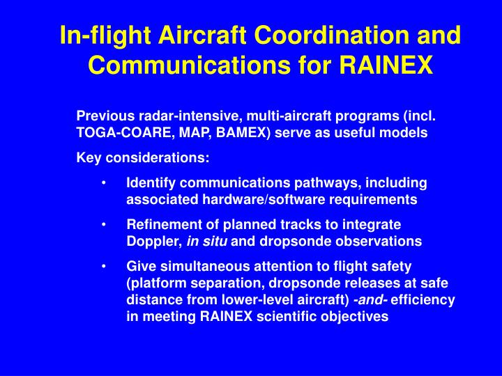
In-flight Aircraft Coordination and Communications for RAINEX. Previous radar-intensive, multi-aircraft programs (incl. TOGA-COARE, MAP, BAMEX) serve as useful models Key considerations: Identify communications pathways, including associated hardware/software requirements

E N D
In-flight Aircraft Coordination and Communications for RAINEX • Previous radar-intensive, multi-aircraft programs (incl. TOGA-COARE, MAP, BAMEX) serve as useful models • Key considerations: • Identify communications pathways, including associated hardware/software requirements • Refinement of planned tracks to integrate Doppler, in situ and dropsonde observations • Give simultaneous attention to flight safety (platform separation, dropsonde releases at safe distance from lower-level aircraft) -and- efficiency in meeting RAINEX scientific objectives
BAMEX* Communications Overview (*Bow Echo & MCV Experiment, St. Louis/MidAmerica Airport, 20 May – 6 July 2003)
Communications Pathways • VHF Radio • Subject to line-of-sight + ‘P-static’ interference limitations • Primary conduit for flightdeck-to-flightdeck communications, navigator coordination etc. • Backup route for scientific coms (VHF1/VHF2); useful for more extended discussions between/ among chief scientists
Communications Pathways • Digital Data bursts via satcom • RAINEX will require periodic (ideally automated) transmission of aircraft locations and selected in situ quantities • AC locations at 1 min resolution desirable for ingest into Zebra and generation of track plots • Presumably requires medium-bandwidth (e.g. GlobalStar 9600 baud or better) pathway vs. ASDL • Ops Center integrates data from existing operational pathways (e.g., NHC dropsonde relay) with specialized RAINEX data (e.g., track info + non-QC’d flight-level data)
Communications Pathways • Interactive Text Messaging (e.g., IRC Chat) • Requires continuous satcom PPP connection • Supports rapid platform/mission status updates, efficient and accurate exchange of waypoints • Conduit for Ops Center input to airborne science team re: mission strategies, contingency plans etc.
Communications Pathways • Image Files • Key data sources include GOES satellite imagery and lower-fuselage (LF) surveillance radar maps from lead NOAA P-3 • Critical to rapid assessment/response to both initial and evolving eyewall + rainband structure • Following download of LF data from lead P-3, Ops Center integrates multiple-platform track history, LF and/or satellite data, then re-distributes retrospective view + proposed tracks • Bandwidth limitations require careful attention to geographical scope and resolution of imagery
Communications Priorities/Limitations • Lead NOAA P-3 executing Module-2 (eyewall-penetrations) may track beyond VHF coms range limit w.r.t. Module-1 AC • Realistic turn-around times for LF download/re-distribution likely approach 30 min, during which precip patterns may both translate and evolve
Other Coordination Issues • Desirability of geometrically simple tracks (~straight-line or smoothly-varying curvilinear) for highest quality dual-Doppler sampling of rainbands
Coordination Issues (cont.) • Tightly-timed tracks (e.g. coordinated dual-AC “quad-Doppler”) bring special challenges • Navigators, working closely w/ scientists, often pivotal in successful execution
3 a/cmission NRL-black Piggy-white Kermit-blue GIV/C130-red 100 km
2 a/cmission NRL-black Kermit-blue GIV/C130-red 100 km
Dropsonde Coordination Suggested tracks of GIV,C130
Simplified RAINEX Data Flow C130/GIV Kermit NRL/P3 Piggy air ground RSMAS ATD HRD NHC JOSS