Download
1 / 20
200 likes | 356 Views
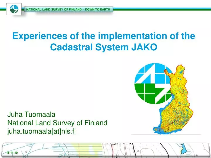
Experiences of the implementation of the Cadastral System JAKO. Juha Tuomaala National Land Survey of Finland juha.tuomaala [at]nls.fi. Data systems for Cadastral duties in NLS History . The old system/ attribute data. The NLS commenced the digitizing of attribute data in the late 1970s.

E N D
Experiences of the implementation of the Cadastral System JAKO JuhaTuomaala National Land Survey of Finland juha.tuomaala[at]nls.fi
The old system/ attribute data • The NLS commenced the digitizing of attribute data in the late 1970s. • The work was compled in 1994 • The data were stored in a network database used in HP3000/MPE computers
The old data / CadastralIndexMap • The NLS beganproducing a digitalcadastralindexmap in 1985 • GIS sofware MAAGIS, developed at the NLS and used in VAX / VMS computers, hasbeenapplied in the digitizing and updating of the cadastralmap in vectorform • The systemwasmapsheetbasedGIS-system
Problemswith the oldsystem • Attribute and map data in differentsystems • Informationserviceswithspatialpredicatesnotpossible • Manyseparateapplicationprograms in pruductionprocess • Labourious and expensive to maintainseveral hardware platforms • Quality of spatial data
Introduction • NLS began a project to renew the cadastral system in 1993 • In the same system: • cadastre maintenance • tools for conducting of cadastral surveys • tools for efficient information services
The stages of the development project • Pre-examination 1990-1992 • Selection project of the development tool 1993 • Development project 1994 - 1998 (30.3.98) in NLS • No commercialcadastralsystems available • Finnish Cadastral System have long history (over 360 years) -> very complicated data model and data • Independence in the application development • In development project 15 - 17 people (8 - 11 programmers) • Total budget about 13.5 million € • development work about 3.4 million € • servers, workstations, network, ect. about 5 million. € • training n. 5 milj. €
GIS-tool selection • Decision to buy a commercial GIS-tool in 1993 • Comprehensive bench-mark tests in 1993 • Decision to choose Smallworld GIS in February 1994
The GIS-software selection in 1994 - why Smallworld GIS ? • Efficient development tools with new technology • Seamless database for spatial data • Tools to solve the problem of long transaction without locking the objects
The GIS-software selection in 1994 - why Smallworld GIS ? • Our benchmark test indicated that SW is efficient in information services also with large databases • The whole software is developed with same powerful object-oriented programming language (Magik), which is also available for the customers
The GIS-software selection in 1994 - why Smallworld GIS ? • SW offers well working solution to distribution problem (Persistent Cache) • The possibility to choose the operating system and the hardware platform almost freely • The possibility to use Windows NT without programming all functions twice
The new system-Functional improvements • Production started 30th of March 1998 • 13 District Survey Offices and 30 sub-sub-units (total 40) • 1200 Win NT workstations in production • 25 000 cadastral surveys annually • 250 000 cadastral units are updated • The system is implemented with Smallworld GIS
Training the end-users • 22 personswasselected to be”The trainersof precision” • 2 trainerstogethergavetrainings in DistrictSurveyOffices to the end-users • Depending of the end-users’sjob, duration of the trainingwas 2-15 days
Database (05/2010) • Attribute and spatial data in same seamless database: • Over 5.9million cadastral units • Some 2.9 million have ceased to exist • Over 3.6 million cadastral unit parcels • Some 18.3 million boundary lines (vector) • Some 15.4 million boundary points • Database size 66 - 240 GB • Database: Smallworld VMDS-relational Database
Raster data • Scales: • 1:8 million • 1:500 000 • 1:250 000 • 1:20 000 Base Map
DIGITAL CADASTRAL INDEX MAP DATA • NLS started data collection of digital cadastral index map in 1985. • Abouthalf of the digitalcadastralmap is producedusingphotogrammetricmethods • 1/2 boundarypointshave a spatialaccuracy of 0.25 m, others 4.0 m ormore • Abouthalf of the digitalcadastralmap is producedusingphotogrammetricmethods • 1/2 boundarypointshave a spatialaccuracy of 0.25 m, others 4.0 m ormore • By the end of 2000 whole Finland was produced in digital vector form
DIGITAL CADASTRAL INDEX MAP DATA • The digitalcadastralmap for sparselypopulatedareas is producedbydigitizingexistingcadastralmaps in scale of 1:10 000 • The spatialaccuracy of this data is 10 metresorless
Cadastral Index Map Data • Both types of Cadastral Index Maps are stored to same seamless database • Each object (point, boundary line) knows it’s accuracy Produced by digitizing Producedusingphotogrammetricmethods
The biggestchallenges in the implementation of the JAKO-system • The size of the project • The size of the projectwashuge • itwasdifficult on keep the size of the application in disciplineduring the wholeduration of the project • Data modeling of the attribute data • Youhavealways to makesomecompromisesbetween the oldattribute data and ideal data model • Data quality • In the beginning of the production, the data qualityinspectionrules in applicationeditorsweretootight • Lot of phonecalls to the applicationhelpdesk • The applicationhelpdeskwasundersized • Lot of supportcasestransfered to the developers for fixing the software codeowing to the poor data quality • Processes • Hugechanges in productionprocesses and in the tools to contact the legalsurveys and at the sametimeupdate the cadastalregisters • ”One manprocess” waspossible – the lack in the surveyorsIT-skills • Deployment • Youhave to take the wholesystem in production at the sametime • over 1000 users, • support the registration of allkinds of legalsurveys