Download
1 / 19
190 likes | 276 Views
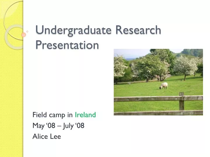
Undergraduate Research Presentation. Field camp in Ireland May ‘08 – July ‘08 Alice Lee. I conducted my research in western Ireland. http://www.rootsweb.ancestry.com/~wipgs/PGS/IrelandCountiesMAP.jpg. I conducted my research in western Ireland.

E N D
Undergraduate Research Presentation Field camp in Ireland May ‘08 – July ‘08 Alice Lee
I conducted my research in western Ireland http://www.rootsweb.ancestry.com/~wipgs/PGS/IrelandCountiesMAP.jpg
I conducted my research in western Ireland http://www.oar.noaa.gov/spotlite/archive/images/driftcard_ireland2.jpg
A little terminology • Lough = Lake • Knock = Mountain • GPS = Global Positioning System • ArcGIS= Program used for digital maps and upload/input GPS data • Strike and Dip = Measurements of orientation of bedding in a rock formation
Field camp objectives • JMU department of Geology and Environmental Science capstone course • Qualified to work for an industry, write project report, draft publishable map, generate database, become confident at scientific observation, interpretation, and solution of geological problems in the field • Emphasis on map making, data recording, and report preparation
Designing and conducting open-ended investigations in Geology • Final project was an independent mapping project (5 days) of Ballard in Co. Galway • Covered a 6 km2 area • GPS, Field map, Brunton compass • Gather your own GPS points, strike and dip of bedding • Analyze and interpret the geology of the land • Write a memoir of your conclusions about the geomorphology and present all data
Using mathematics and evidence to map ancient glacial movement • Cirque = a curvature or an ampitheatre-like valley formed at the head of a glacier by erosion • GPS points and strike/dip and measure height, width and distance to interpret the glacial movement • Finding and measuring striations and moraines to see how the glacier moved and where it sat • Composition, direction, strike/dip, magnetic north
Evidence in research paper • All the projects required • lithofacies description • Stratigraphic column • Stereonet • Memior about the interpretation of the geology and conclusion based on your data • Figures and tables. Visual aid great for teaching
Using ArcGIS and Google Maps • Digital Mapping Field Exercise • Mapping geologic formations and strike and dip in Finny on Knock Kilbride Co. Mayo, Ireland • Climb Knock Kilbride, Lock-in locationand take strike and dip of outcrop. • Record location and strike/dip on GPS • Input data into ArcGIS to create a map
Google Maps • Data we collected was inputed into ArcGIS as well as a project by Google maps and Galway University • Over the next few years data that we collected will be uploaded into Google maps • Allowing anyone to access geological information and data about the land
Connections to teaching, major pedagogical concepts and principals for planning instruction • Field work (or labs) is necessary. Gather your own data and get your hands a little dirty. Make your own interpretations and conclusions. • Everything in this world is connected. Ireland and east coast of US collided at one point (Interpreting Ireland helps us understand more about east coast. ex: Burren) • Using Google maps and ArcGIS/GPS