Download
1 / 27
270 likes | 389 Views
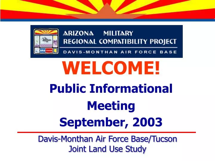
WELCOME! Public Informational Meeting September, 2003. Davis-Monthan Air Force Base/Tucson Joint Land Use Study. BACKGROUND. Davis-Monthan Air Force Base/Tucson Joint Land Use Study. THE ARIZONA MILITARY REGIONAL COMPATIBILITY PROJECT.

E N D
WELCOME! Public Informational Meeting September, 2003 Davis-Monthan Air Force Base/TucsonJoint Land Use Study
BACKGROUND Davis-Monthan Air Force Base/TucsonJoint Land Use Study
THE ARIZONA MILITARY REGIONAL COMPATIBILITY PROJECT • Statewide endeavor – airports, installations, and the Goldwater Range • Department of Defense JLUS grant • Western Maricopa County/Luke AFB is phase one, Davis-Monthan AFB/Tucson and others are phase two • State’s role as convener to engage all parties and cross jurisdictional boundaries
PRIMARY PROJECT OBJECTIVE “This Project is an undertaking of statewide impact designed to find resolutions to land use compatibility and encroachment issues through collaborative effort and strong implementation.”
HISTORICAL TIMELINE 1995 - Military Airport Preservation Committee, 1988 Contours 2000 - Legislation (SB 1514) 2001 - Legislation (SB 1525 & 1120) 2002 - Aviation Advisory Council 2002 - Legislation (SB 1393) 2002 - Economic Impact Study
WHO IS INVOLVED? • State of Arizona, Department of Commerce • Department of Defense, Office of Economic Adjustment • City of Tucson and Pima County • Davis-Monthan Air Force Base • Policy Advisory Committee (PAC) • Consultant Team (Parsons) • Stakeholders and Public
DEPARTMENT OF DEFENSEOFFICE OF ECONOMIC ADJUSTMENT JOINTLANDUSESTUDY PROGRAM Davis-Monthan Air Force Base/TucsonJoint Land Use Study
DEPARTMENT OF DEFENSEOFFICE OF ECONOMIC ADJUSTMENT ENCROACHMENT • Communities continue to grow near and around military bases, exposing more people to safety and other concerns. • This encroachment limits the ability to train and maintain operational readiness. • DOD wants to address this issue now, while reasonable options exist to cure existing problems and prevent future incompatible development. Davis-Monthan Air Force Base/Tucson Joint Land Use Study Davis-Monthan Air Force Base/Tucson Joint Land Use Study Davis-Monthan Air Force Base/Tucson Joint Land Use Study
DEPARTMENT OF DEFENSEOFFICE OF ECONOMIC ADJUSTMENT WHAT IS A JLUS? • A process for cooperative land use planning effort between military installations and the surrounding communities. • It is designed to promote community growth and development that is compatible with the mission of the military installation. • A partnership between Davis-Monthan AFB and the community. Davis-Monthan Air Force Base/Tucson Joint Land Use Study Davis-Monthan Air Force Base/Tucson Joint Land Use Study Davis-Monthan Air Force Base/Tucson Joint Land Use Study
DEPARTMENT OF DEFENSEOFFICE OF ECONOMIC ADJUSTMENT JLUS MAY RECOMMEND • Ways Base can reduce impacts. • Ways Community can encourage compatible land use and limit development intensity where appropriate. Davis-Monthan Air Force Base/Tucson Joint Land Use Study Davis-Monthan Air Force Base/Tucson Joint Land Use Study Davis-Monthan Air Force Base/Tucson Joint Land Use Study
STUDY AREA Davis-Monthan Air Force Base/TucsonJoint Land Use Study
AIRPORT VICINITY MAP - STUDY AREA DRAFT Graphics prepared by PARSONSSources: Davis-Monthan AFB, Pima County, City of Tucson, and ESRI
LAND USE COMPATIBILITY Davis-Monthan Air Force Base/TucsonJoint Land Use Study
COMPATIBILITY CRITERIA • Avoid concentrations of people exposed to noise and safety hazards • Noise Criteria: • Limit exposure of people and noise-sensitive activities to high noise levels • Safety Criteria: • Limit concentrations of people and safety- sensitive activities in areas of highest probable accident impact
NOISE CRITERIA • Typical Background Sound Levels • Suburban Residential Neighborhood – 35 to 45 db • Office (Interior) – 40 to 50 db • Traffic – 70 to 85 db • Normal Conversation – 60 db
NOISE CRITERIA • Noise Sensitive Activities • Residences and places where people normally sleep, such as hospitals and hotels • Institutional land uses such as schools, libraries, and churches where it is important to avoid interference with such activities as speech, meditation, and concentration on reading material • Uses where quiet is important, such as concert halls, monuments, and museums • Outdoor activities where conversation or quiet is important
NOISE CRITERIA • Noise Sensitive Activities • Residences and places where people normally sleep, such as hospitals and hotels • Institutional land uses such as schools, libraries, and churches where it is important to avoid interference with such activities as speech, meditation, and concentration on reading material • Uses where quiet is important, such as concert halls, monuments, and museums • Outdoor activities where conversation or quiet is important
NOISE CRITERIA • New 2003 Noise Contours defined by Air Force • Define Noise Zones up to the 65 ldn contour • Under existing State Law, most recent Noise Contours are to be used to define Noise Zones
NOISE CRITERIA • Use “Hypothetical” contours to reflect potential change in aircraft type • Define Noise Zones up to the 65 ldn contour • Contours would remain static
SAFETY CRITERIA • Risk • The potential for realization of unwanted, adverse consequences to human life, health, property, or the environment; estimation of risk is usually based on the expected value of the conditional probability of the event occurring times the consequence of the event given that it has occurred. Source: The Society for Risk Analysis, Risk Glossary
SAFETY CRITERIA • In Areas of Most Likely Accident Impact • Limit Concentrations of People • Residences and similar uses where people reside, such as hospitals and hotels • Employment locations with high density (e.g. offices) • Places where people may gather in large numbers (e.g. shopping centers, auditoriums, recreation areas) • Avoid Uses with Special Safety Considerations • Uses involving hazardous materials or explosives • Critical public health and safety uses (e.g. hospitals, fire stations, police communication facilities)
SAFETY CRITERIA • Approach-Departure Corridor – the “Paddle” defined from end of runway out 50,000 feet • City’s Interim Regulations reflect split in Paddle at 30,000 feet.
SAFETY CRITERIA • Allow low-intensity non-residential uses in APZs and Northern part of the Paddle • Graduated density with longitudinal distance from runway end (20 to 30 people per acre) • Graduated density (up to 40 people per acre) and additional uses, such as retail and offices with horizontal distance from centerline
NEXT STEPS Davis-Monthan Air Force Base/TucsonJoint Land Use Study
NEXT STEPS • Public Review Input • Implementation Strategies • Final Study Report • Begin Implementation • Ongoing Coordination
TO STAY INVOLVED • Comments • Comment Cards • E-Mail (amarcp.parsons@parsons.com) • Newsletter – October and December • Web Site www.azcommerce.com/CommunityPlanning/Compatibility