Download
1 / 19
230 likes | 367 Views
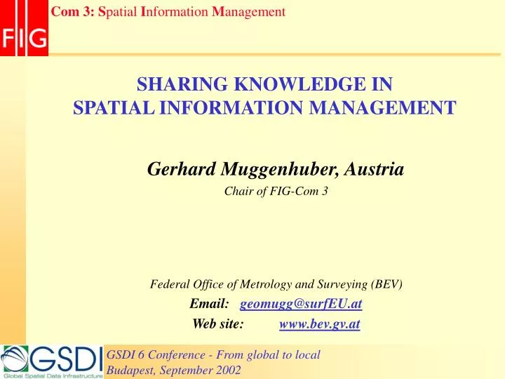
SHARING KNOWLEDGE IN SPATIAL INFORMATION MANAGEMENT. Gerhard Muggenhuber, Austria Chair of FIG-Com 3 Federal Office of Metrology and Surveying (BEV) Email: geomugg@surfEU.at Web site: www.bev.gv.at. Information Society. ? ? ? ?. Prosperity. Recession.

E N D
SHARING KNOWLEDGE INSPATIAL INFORMATION MANAGEMENT Gerhard Muggenhuber, Austria Chair of FIG-Com 3 Federal Office of Metrology and Surveying (BEV) Email: geomugg@surfEU.at Web site: www.bev.gv.at
Information Society ? ? ? ? Prosperity Recession Nach Nefiodow, L.A. (1997): Der 6. Kondratieff; Wege zur Produktivität und Vollbeschäftigung im Zeitalter der Information
Coordinated • Visions • Aims • Operations Improved • Workflow • Feedback • Results Improving SI-Management Information Information Aims StrategiesProcesses Structure Organization Operative level Shared meta-information for improved services
VIRTUAL REALITY COLLECT / MAINTAIN UTILIZE Interpretation Abstraction Data PRODUCE PROVIDE The data-modelling level o SIM Model
The growing business of SIM 1800 1900 1950 1970 1990 2000 a tool for decision making ? ? ? CULTURAL ENVIRONMENTAL PLAN&MANAGE (URBAN AGRO) JURIDICAL FISCAL
CONSUMER G2G B2B G2C--C2G G2B--B2G C2B--B2C BUSINESS GOVERNMENT The Service integration level of SIM SDI – SII - SKI Spatial Information* Infrastructure * Information = Data + Knowledge
Cooperation of Public Sector Mapping Agencies” (PSMA):Vision: return of economic benefits to the nation through the coordination, assembly and delivery of standards-compliant, client-specific datasets Cooperation on national levelexample Australia 1945: National Mapping Council (NMC) 1987 replaced by “Inter-Governmental Advisory Committee” (IGAC), Intergovernmental Committee on Surveying and Mapping” (ICSM) // AUS+NZ- Land Information Council (ANZLIC) cooperated with ICSM on Australian Spatial Data Infrastructure (ASDI). • 2001 AUSLIG Australian Surveying and Land Information Group merged with AGSO into Geosciences Australia,
Cooperation on regional levelexample Europe National Mapping Agencies UN-ECEWorking Party on Land Administration European Umbrella Org. for Geographic Information Coordinated Geoinformation in Europe
President Robert W. Foster (USA) Vice-PresidentHolger Magel (Germany) Incoming Vice-President Mr. T. N. Wong (Hong Kong, China)
FIG-Commissions 1 – Professional Standards & Practice 2 – Professional Education 3 – Spatial Information Management 4 – Hydrography 5 – Positioning and Measurement 6 – Engineering Surveys 7 – Cadastre & Land Management 8 – Spatial Planning & Development 9 – Valuation and Management of Real Estate 10 - Construction Economics and Management
FIG www.fig.net FIG April 2003 Paris 2004 Athens 2005 Cairo 2006 Munich FIG-Com3 2001 Nairobi 2002 Istanbul 2003 Morocco
FIG-Com3 Working Groups WG 3.2: SIM infrastructure K. Murray, M.Scheu Harmonization of data, information, tools (LBS) and workflows of GSDI WG 3.1: e-Government and e-Citizen K. Strande, P. Laarakker Interactive Information Flow between providers, partners & customers (PPP) WG 3.3: State of the art of SIM C. Potsiou, U.Okafor Development & State of the art of SIM - establishing a FIG-metadata base on SDI WG Com 2+3: Knowledge Transfer in SIM B.Markus, M.Timoulali Develop methods and share experience on education and training in SIM Beneficiaries: Surveyors, Associations and Users of spatial data and spatial information
FIG-Com3Publications FIG-Publication 30/2002:The Nairobi Statement on Spatial Information for Sustainable Development FIG-Publication 31/2002: Land Information Management for Sustainable Development of Cities. Best Practice Guidelines in City-wide Land Information Management
next ? Information Society Service Prosperity Recession Nach Nefiodow, L.A. (1997): Der 6. Kondratieff; Wege zur Produktivität und Vollbeschäftigung im Zeitalter der Information
Building Knowledge-clusters for SIM CONSUMERS Spatial Information* Infrastructure Multidisciplinary approach Quality Management Service_1 Service_n Product_1 Product_n PROVIDERS