Download
1 / 20
210 likes | 317 Views
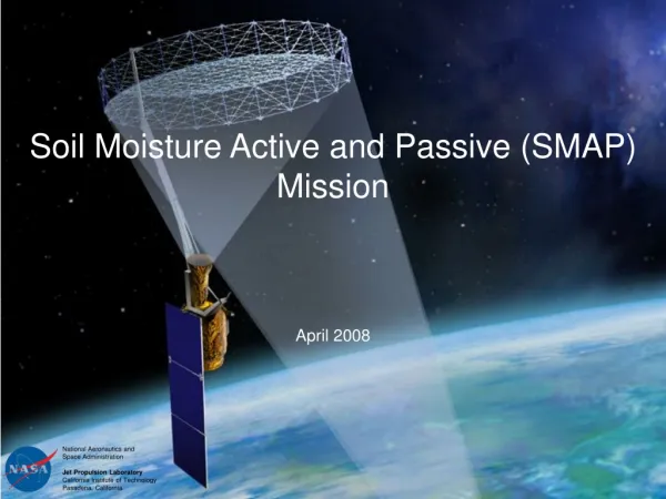
EVALUATION OF SMAP LEVEL 2 SOIL MOISTURE ALGORITHMS USING SMOS DATA. Rajat Bindlish 1 , Thomas Jackson 1 , Tianjie Zhao 1 , Michael Cosh 1 , Steven Chan 2 , Peggy O'Neill 3 , Eni Njoku 2 , Andreas Colliander 2 , Yann H. Kerr 4 , Jiancheng Shi 5

E N D
EVALUATION OF SMAP LEVEL 2 SOIL MOISTURE ALGORITHMS USING SMOS DATA Rajat Bindlish1, Thomas Jackson1, Tianjie Zhao1, Michael Cosh1, Steven Chan2, Peggy O'Neill3, Eni Njoku2, Andreas Colliander2, Yann H. Kerr4, Jiancheng Shi5 1USDA ARS Hydrology and Remote Sensing Lab, Beltsville, MD 2Jet Propulsion Lab, Pasadena, CA 3NASA Goddard Space Center, Greenbelt, MD 4CESBIO, France 5University of California, Santa Barbara, CA
Objectives • Reprocess SMOS observations to simulate SMAP observations at a constant incidence angle of 40o. • This provides a brightness temperature data set that closely matches the observations that would be provided by the SMAP radiometer. • Conduct an evaluation of the different SMAP soil moisture algorithms under consideration using the simulated data. • Results will aid in the development and selection of the different land surface parameters (roughness and vegetation) and ancillary data sets.
Evaluations • Analysis will involve several steps that will progressively move toward the actual SMAP characteristics. • Evaluate the SMAP ancillary data options • Vegetation • SMOS Tau • MODIS Climatology • Real time MODIS • Soil Temperature • ECMWF • GMAO/MERRA • NCEP • Algorithm inter-comparisons • Single Channel Algorithm (H-pol) (baseline) • Single Channel Algorithm (V-pol) • Dual Channel Algorithm • LPRM
Metrics • USDA ARS watersheds • SMOS soil moisture • ECMWF soil moisture • SCAN sites • Other sites from the ISMN and SMOS Cal/Val
Approach • Develop a SMOS/SMAP data product that includes TBH and TBV at an incidence angle of 40o. • Evaluate the algorithms using different ancillary dataset for soil moisture retrievals. • Full SMAP retrievals using SMOS/SMAP data along with SMAP ancillary data sets on SMAP grid. • Period of Analysis: Nov 2009 - May 2011
Development of SMOS/SMAP data product • Uses L1c data • SMOS observations from extended FOV areas can influence the overall brightness temperatures for a location (x,y) • The use of observations from alias-free zones provides a more reliable TB at 40o. Observations from extended FOV are noisier. 600 km 1400 km
Development of SMOS/SMAP data product • Basic steps performed in this processing: • Removing the aliased portions of the SMOS orbit • Filtering to remove anomalous TB observations + RFI check • Interpolation to fill-in full/dual-pol TB observations for each snapshot • Transforming from antenna to Earth reference frame (Computing X-Y to H-V TB) • RFI check (0<TB<320 K, TBH<TBV) • Curve fitting of available TB observations at multiple incidence angles to estimate 40o TB
Development of SMOS/SMAP data product • The SMOS/SMAP product has a narrower swath (extended FOV zones are not included) • The reprocessed product has less noise. This is especially true for the edges of the swath. Higher quality TB is important for SMAP algorithm development. • SMOS does not perform a multi-parameter retrieval in the EFOV zones Full Swath Processing Reduced Swath Processing
Baseline Results • Single Channel Algorithm (SCA) – baseline • Vegetation – MODIS climatology • Land cover – MODIS IGBP • Soil temperature - ECMWF • Precipitation, Snow, Frozen soil – ECMWF • Vegetation parameter (b), roughness parameter (h) and single scattering albedo constant for all land covers
SCA – Global Results • Low soil moisture over desert and arid regions (Africa, Middle East, Central Asia, and Central Australia). • High values over forested areas in northern latitudes (Canada and Russia) and over portions of South America. • Northern latitudes flagged due to either snow or frozen soil in June. • South-East Asia, Northern South America flagged because ECMWF forecasts indicated precipitation at the time of SMOS overpass.
SCA – Watershed Results • Wide range of observed soil moisture conditions • SCA captures the range of observed soil moisture • Low bias and RMSE over LR • Most of error over LW is due to dry bias • Good agreement over WG with near zero bias • Underestimation bias over RC
SCA – Watershed Results The sample size is reduced due to removal of extended FOV TBs. This results in a repeat cycle of about 9-10 days.
Vegetation Ancillary Data MODIS Climatology Tau (July 1-10) • MODIS derived tau has greater spatial variability than the SMOS tau • SMOS tau is lower over high vegetated areas • SMOS tau is higher over low vegetation areas • No SMOS tau over dense forests SMOS Estimated Tau (July 1-10)
Vegetation Ancillary Data SCA using MODIS (July 1-10) • SCA using SMOS Tau results in higher soil moisture (higher tau results in over correction) • Lower soil moisture estimates over northern latitudes using MODIS NDVI (Canada, Russia) due to lower tau values SCA using SMOS Tau (July 1-10)
Vegetation Ancillary Data: SMOS, MODIS-CI, and MODIS-RT • Using the SMOS tau results in greater scatter due to day to day variability in tau. Also a positive bias. • Very little differences between MODIS climatology/realtime based tau. • Using the MODIS tau results in near zero bias over LR and WG and underestimates over LW and RC. • Some of the bias may be due to use of constant vegetation and roughness parameters.
SCA (V pol) - Results • Similar to SCA (H pol) results. • Low soil moisture over desert and arid regions (Africa, Middle East, Central Asia, and Central Australia). • High values over forested areas in northern latitudes (Canada and Russia) and over portions of South America.
SCA (V pol) - Results • H pol better over LR and WG • V pol better over LW and RC • Choice of a constant set of global vegetation and roughness parameters results in different biases • Vegetation parameters need to be land cover type specific • H pol (b=0.08, ω=0.05) • V pol (b=0.10, ω=0.06) • Need to take a closer look at these results.
Summary • A procedure was developed to reprocess SMOS TB to simulate SMAP radiometer data. • The SCA algorithm was implemented using the SMOS/SMAP data set at a 40o incidence angle. • SCA (MODIS) performs well in comparison with in situ observations. • SCA using V pol observations performs satisfactorily. The choice of vegetation parameter can greatly affect the overall bias. Vegetation parameters need to be land cover specific to minimize bias over different domains. • Initial results indicate the SMAP algorithms can meet the target accuracy requirement of 0.04 m3/m3. • Further analysis and research is ongoing. • This work will help in the selection and development of the SMAP passive L2 soil moisture algorithm.