Download
1 / 19
190 likes | 351 Views
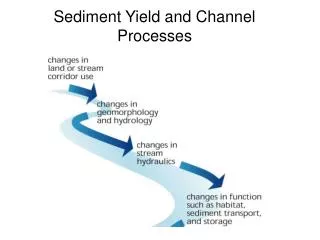
Temporal and spatial patterns of basin scale sediment dynamics and yield. Why bother?. Landscape evolution Channel morphology Channel stability assessment and stable channel design Bank erosion Fine sediment sources Benthic habitat & disturbance regime defined by bed-material flux

E N D
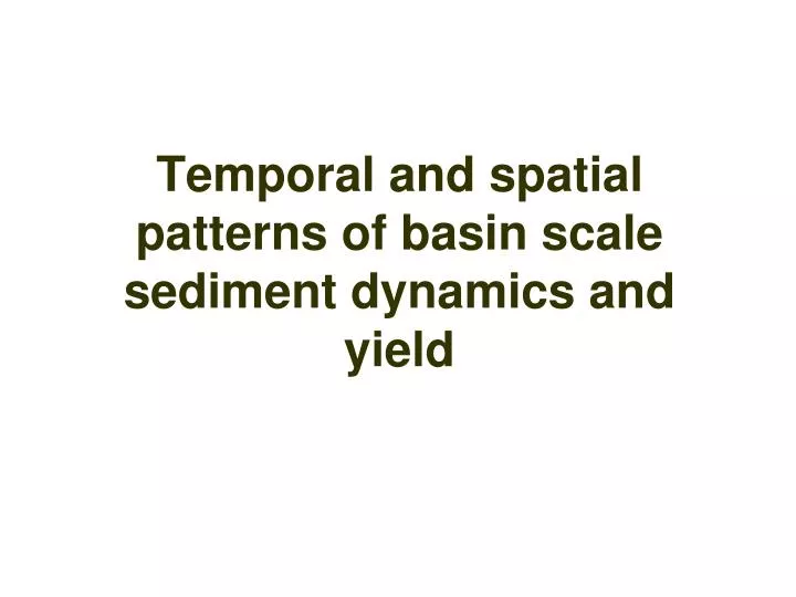
Temporal and spatial patterns of basin scale sediment dynamics and yield
Why bother? Landscape evolution Channel morphology Channel stability assessment and stable channel design Bank erosion Fine sediment sources Benthic habitat & disturbance regime defined by bed-material flux Testing land use practices
Scales Temporal Storm (rising/falling limbs) Seasonal Decadal Spatial Slope Small basin Large basin
Main Objectives Examine the magnitude and frequency of sediment mobilization events and relate them to the hydrological magnitude and frequency of floods. This will be achieved by calculating event sediment yield, which will be related to sediment supply (storage) and hydrograph characteristics.
Main Objectives 2. Quantify hysteresis in sediment mobilization related to sediment supply and hydrograph characteristics.
Idealized set-line trend for one season Time First Flood Log Concentration Rising Last Flood Falling Log Discharge
Main Objectives 3. Assess changes in runoff, stream flow, and sediment duration curves related to changes in land use and climate.
Main Objectives 4. Slope-channel interactions/feedback
Bed Composition In-channel supply Entrainment and transport Low Flows vs. High Flows Coarse particles mobilized Fines released Stronger influence of bed composition Only available fines entrained
Main Objectives 5. Establish regional scaling relations for the variation of sediment yield with drainage basin area. 6. Examine the spatial and temporal variation in sediment yield using the regional sediment yield relations for the landscape. This is essentially a matter of scaling, and will require us to evaluate the extent to which it is possible to transfer findings from one scale of investigation to another.
Main Objectives 7. Modeling sediment yield (fine sediment) using Lu et al. (2005) model. Relate objective 6 to 3 and link to other groups.
Other objectives 1. How is the land use likely to influence the basin hydrology and the spatial and temporal sediment yield variations at the landscape scale. 2. The response of the landscape to land use and soil conservation practices (has been studied for small basins but not at the landscape scale). It has been established that the response of a catchment system will vary, subject to previous disturbance conditioning effects and that the relaxation of a system is conditioned by previous disturbance. 3. How the landscape is likely to response to climate change and other disturbances. 4. Connectivity of the landscape from the plot scale to the drainage basin scale. For efficient transport of sediment, the hydrological and geomorphological connectivity of the landscape is poorly understood yet remains an open question.
Goodwin Creek basin Drainage basin area range between 0.05 and 21 km2 area