Download
1 / 22
220 likes | 333 Views
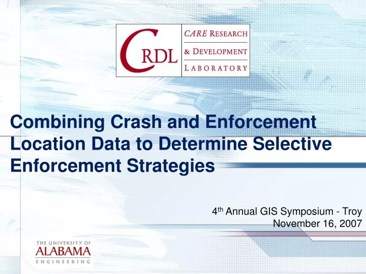
Combining Crash and Enforcement Location Data to Determine Selective Enforcement Strategies. 4 th Annual GIS Symposium - Troy November 16, 2007. Outline. Data sources Starting point Mapping crashes (points, lines, regions) ECitation Mapping citations (points, lines, regions)

E N D
Combining Crash and EnforcementLocation Data to Determine Selective Enforcement Strategies 4th Annual GIS Symposium - Troy November 16, 2007
Outline • Data sources • Starting point • Mapping crashes (points, lines, regions) • ECitation • Mapping citations (points, lines, regions) • Hot and cold zones • Process summary • Future plans • Bonus material
Data Sources • Crashes • Paper crash reports (ECrash) • Mapable by route & milepost • Three month lag on most crashes • Complete Alabama data for past 15 years • Citations • ECitation • GPS • Two to three day lag on most citations • State trooper and some municipalities (Oldest data 2002) • Officer Locations • Real-time for some troopers • Plan to recorded positions periodically
Starting Point • The questions • When & where should officers patrol to reduce fatalities and serious injuries? • How is “the answer” best presented? • How should recommendation effectiveness be assessed? • Conventional wisdom: • Position enforcement operations in high crash locations (“hotspots”)
Segments Instead of Points • Five-mile segments • Reflect overall activity within a particular segment • A coarser-grained look at activity than simply displaying individual crashes
Other Ways to Slice • Look at subsets of crashes: • Fatalities • Injuries • Alcohol • Etc. • Overlay other types of data: • Traffic volume • Roadway characteristics • Enforcement patterns
Electronic Citations in Alabama • Initiated in June 2002 • Approximately 420,000 transactions to date: • 360,000 citations • 60,000 warnings • 1700 transactions per day • Deployment • Most state troopers (around 450 officers) • 91 officers at 10 local agencies • 46 agencies in progress • Real-time citation GPS locations
Citation Points GPS
Computing Hot/Cold Zones • Based on trooper post • Hot zone - 5-mile segments where: • Crashes exceed the post average for crashes • Citations are below the post average for citations • Cold zone - 5-mile segments where: • Citations exceed the post average for citations • Crashes are below the post average for crashes • A possible officer deployment strategy: • Route officers to hot zones • Route officers away from cold zones, except where they overlap hot zones
Above and Below Post-Average-CrashesPer 5 Mile Segment Mobile Post
Above and Below Post-Average-CitationsPer 5 Mile Segment Mobile Post
Hot & Cold Zones • Hot Zones • Below Average Citations • Above Average Crashes • Cold Zones • Above Average Citations • Below Average Crashes
Next Step • Need to implement enforcement decisions based on this strategy • Need to monitor the effectiveness of shifting resources: • Does reducing citations negatively impact a low-crash coldspot? • Does increasing citations positively impact a high-crash hotspot? • Based on the results of this evaluation, continue to shift resources • Ultimately: • Make enforcement decisions based on data, not feel
Future Plans • Data quality and timeliness: • Obtain 85-90% of citation data electronically (with GPS coordinates) • Obtain real-time crash data with GPS coordinates using ECrash • Incorporate officer location data • Analyze crashes and citations and officer patrol locations • Identify routes, not just locations • Develop more sophisticated algorithm for identifying hot & cold zones
Questions? • Contact information • dsteil@cs.ua.edu