Download
1 / 9
90 likes | 95 Views
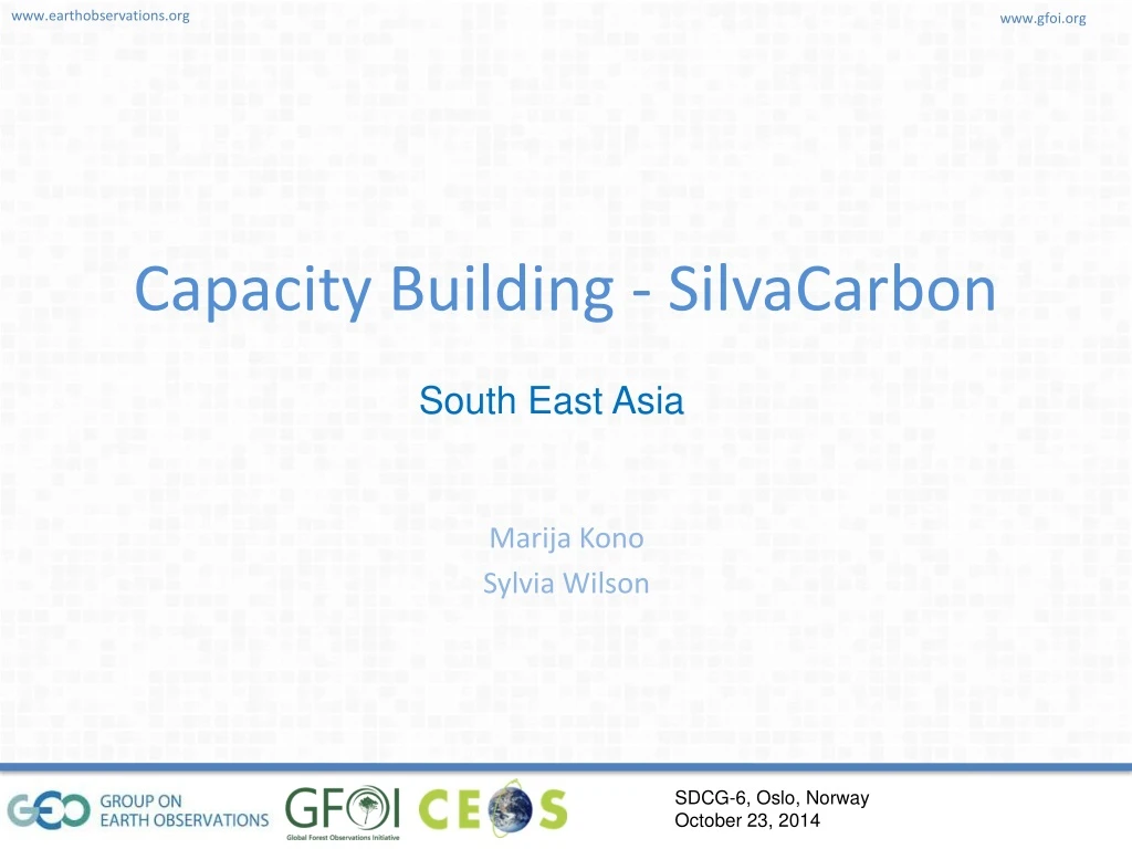
Capacity Building - SilvaCarbon. South East Asia. Regional Activities.

E N D
Capacity Building - SilvaCarbon South East Asia
Regional Activities • GFOI series of workshops: As part of the GFOI Capacity Building, SilvaCarbon will continue to deliver technical capacity support through regional workshops. The proposed workshop topics were identified with the participants during the 2014 GFOI workshops in Thailand and Nepal. • Third GFOI Asia Technical Workshop – Radar data processing • Fourth GFOI Asia Technical Workshop – Cost-effective biomass mapping and carbon estimation • Fifth GFOI Asia Technical Workshop - Accuracy assessment and uncertainty analysis for GHG-reporting from the forestry sector
Leverage with other programs - Regional Community Forestry Monitoring – Costs/Benefits and Upscaling • Lead organizer: USGS (funding available from WWF, USAID LEAF • Potential partners: RECOFTC, SNV, GiZ Regional knowledge exchange on Advancing Forest Degradation Monitoring • Lead organizer: USFS, USAID LEAF • Potential partners: FAO Regional knowledge exchange: Allometric equations • Lead organizers: USFS/USGS, FAO (tbc) Wetlands Mapping • Lead organizers: USFS, SWAMP • Partners: ICCC, USAID LEAD, Wetlands International and others
Study Tours • Option 1 - Radar data processing: Intensive training for radar data processing for selected participants from SilvaCarbon Asia countries in the U.S. This is envisaged as a follow-up training from the GFOI radar data regional workshop, probably as a two-week training, either at Woods Hole or Sarvision. • Option 2 - Working with time series: Building capacity to understand, work with and apply time-series can help countries to improve their historical data for reporting purposes, assess changes over time and better understand forest degradation. A two-week study tour could be organized for limited number of participants from selected countries at Boston University, RSAC or other institutions. • Option 3 (regional study tour) - Indonesia National Carbon Accounting System: Lead organizer: USFS
Nepal • Provide available Earth observation data (current and historical) (USGS/GFOI) • Training and testing methodologies for remote sensing and ground data integration – Subtopics to be defined, but could include training on in-situ forest carbon measurement and analysis of physiological and ecological parameters (USGS/USFS) • Training on spatial and in-situ data management and archiving (USFS)
Indonesia • Indonesia is well ahead from most of the other countries in terms of developing their MRV plan and they are also making efforts to streamline the institutional arrangements. Potential SilvaCarbon support to Indonesia is envisaged as a two-fold process: 1) advancing the INCAS program and the national carbon stock assessment and 2) transferring knowledge from Indonesia to other countries (see study tour).
Philippines • Workcould be targeted to support NAMRIA, in order to capitalize on the new USFS Climate Fellow that just started working there. The Scope of Work is currently being defined and discussed, but based on some preliminary insights as well as the request from Philippines at the regional SilvaCarbon meetings, support could include: • Improved accuracy assessment training – Use some of the existing funds from USGS for trainers (Syracuse and Boston), and include training. Include Forest Service specialist because non of this maps at Namria has been ground validated. • Digital image classification training
Cambodia (in case there is familiarity) • Technical external evaluation of their forest change maps – Have three maps with different sensors (AlosAvnir 2, Palsar, Landsat and some areas with quickbird). Phase 1: First a detail questionnaire that cover topics such (official definitions for the three maps, forest, deforestation and degradation. Classes and forest types, plans and protocols for merging methodologies if existing, c omputing capacity, replication capacity, purposes of the maps, processes of data. Phase 2: Comparing representative areas of change for each map, and interpreting the three maps in these high change area to evaluate the accuracy. • Time series analysis for land cover – Method already tested for a woody vegetation metrics in Cambodia at EROS. There will be some results and we can work with the countries for areas of interest to develop metrics.