Download

1 / 5
50 likes | 139 Views
History and Purpose of GIS. Why use GIS?. A GIS computer software package is as important to a cartographer as a Word Processor is to a writer. A Geographical Information System is a method of: spatially storing, analysing, manipulating, managing and displaying geographical data.

E N D
Why use GIS? • A GIS computer software package is as important to a cartographer as a Word Processor is to a writer. • A Geographical Information System is a method of: • spatially storing, • analysing, • manipulating, • managing and • displaying geographical data.
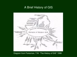
GIS Timeline • GIS began in 1950’s • 1966 GIS demonstrated by Howard Fisher • 1969 ESRI founded • 1970’s satellites aid GPS • 1971 GIS project used a layering system to display data • 1979 Odessy developed • 1980’s maps moved from military and tax use to commercial use GIS masters in third level Edinburgh College began in the mid 1980s. • 1986 MapInfo developed • 1986 SPOT satellite was launched. • 1992 the Lebanon used GIS to rebuild electrivity network the
What people use GIS? • These people would include Archaeologists, Architects, Commercial Companies, Doctors, Engineers, Historians, Law Enforcement Agencies, Meteorologists, Military, Planners, Property Developers, Politicians, and Statisticians to name but a few.
What can maps display? • Roads • Rivers • Urban areas • Place names • Railway • Places of interest • Town names