Download
1 / 12
160 likes | 440 Views
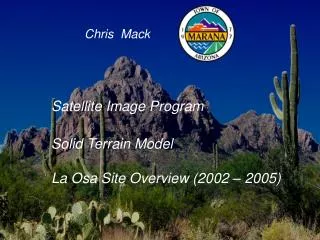
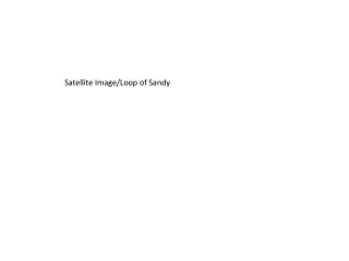
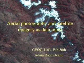
Satellite and Aerial Image Analysis. Remote Sensing Earth Observation Photogrammetry. Application Areas: anything that happens on the planet. From the Cold War to Spaceship Earth. Imaging Tech Satellite / Aerial Photography Geosynchronous /

E N D
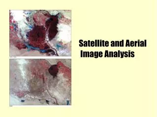
Satellite and Aerial Image Analysis
Remote Sensing • Earth Observation • Photogrammetry Application Areas: anything that happens on the planet From the Cold War to Spaceship Earth
Imaging Tech • Satellite / Aerial Photography • Geosynchronous / • Sunsynchronous (Near Polar Orbit) • Passive / Active; Panchromatic / Multispectral • Data processing, distribution, corrections • Interpretation
Pixel Classification • Vegetation, Soil, Water, Ice, Atmosphere • Radiation proifles
MODIS Rapid Response Fire Maps • Vital product aids firefighting responses • Fully automated • Straight forward algorithm, placing conditions on multiple spectrums
Remote Sensing at Sussex • Dominic Kniveton, WetNet project • Rainfall estimation from microwave radiation
Ice Edge and Icebergs • Climate change and wildlife • Economic (shipping) • Traditional livelihoods • Techniques • Spectral profiles, and microwave backscatter for classification • Edge and motion detection
Neural Networks • often used in geography • Snow density estimation • ANNs trained on site specific data performed better than known algorithms
Automated Road ExtractionActive research area, many places currently badly mapped Technique for updating accuracy of existing maps is completely automated, successful
3D City Models • Similar technique of extracting above ground objects • Aerial photos are then texture mapped to models.
References Books Introduction to Environmental Remote Sensing Computer Processing of Remotely-Sensed Images Introduction to Remote Sensing Remotely Sensed Cities Journals (on ScienceDirect) ISPRS Journal of Photogrammetry and Remote Sensing Remote Sensing of Environment Websites http://www.photogrammetry.ethz.ch/ http://www.photogrammetry.ethz.ch/~manos/rsnote/contents.htm (online textbook) http://earthobservatory.nasa.gov/ http://northernview.org/ ...tons more