Download
1 / 25
260 likes | 417 Views
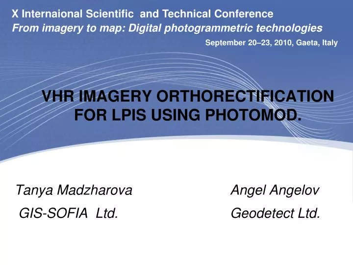
X Internaional Scientific and Technical Conference From imagery to map: Digital photogrammetric technologies. September 20–23, 2010, Gaeta, Italy. VHR IMAGERY ORTHORECTIFICATION FOR LPIS USING PHOTOMOD. Tanya Madzharova Angel Angelov GIS-SOFIA Ltd. Geodetect Ltd.

E N D
X Internaional Scientific and Technical ConferenceFrom imagery to map: Digital photogrammetric technologies September 20–23, 2010, Gaeta, Italy VHR IMAGERY ORTHORECTIFICATION FOR LPIS USING PHOTOMOD. Tanya Madzharova Angel Angelov GIS-SOFIA Ltd. Geodetect Ltd.
X Internaional Scientific and Technical ConferenceFrom imagery to map: Digital photogrammetric technologies September 20–23, 2010, Gaeta, Italy INTRODUCTION OVERVIEW THE PROJECT PROCESSING RESULTS AND CONTROL
X Internaional Scientific and Technical ConferenceFrom imagery to map: Digital photogrammetric technologies September 20–23, 2010, Gaeta, Italy • OVERVIEW • From 1 January 2007 Bulgaria become part of European Union • To carry out the obligation like country member ofEU,Bulgaria have to create and update LPIS
X Internaional Scientific and Technical ConferenceFrom imagery to map: Digital photogrammetric technologies September 20–23, 2010, Gaeta, Italy • FUNCTIONS OF LPIS • the unambiguous localisation of all claimed agricultural parcels by farmer and inspectors, • and the quantification of all eligible area for crosschecks during the administrative controls by the paying agency. • LPIS is the single GIS for Integrated Administration and Control System (IACS). • One of the main layer of this GIS is digital orthophotomaps
X Internaional Scientific and Technical ConferenceFrom imagery to map: Digital photogrammetric technologies September 20–23, 2010, Gaeta, Italy Well functioning LPIS will greatly facilitate operations by farmer, inspector and paying agency,resulting in a better overall performance. Obviously, a better LPIS substantially improves IACS effectiveness and management of EU Funds.
X Internaional Scientific and Technical ConferenceFrom imagery to map: Digital photogrammetric technologies September 20–23, 2010, Gaeta, Italy To fulfil the requirements Ministry of Agriculture and Food confide creation of Digital ortophotomaps using satellite imagery for part of Bulgarian territory. The works was implemented by: GIS-Sofia Ltd. Geodetect Ltd. Geokad Ltd.
X Internaional Scientific and Technical ConferenceFrom imagery to map: Digital photogrammetric technologies September 20–23, 2010, Gaeta, Italy • 2. THE PROJECT • Area: • The project is part of territory of Bulgaria • which is around 40.85% of whole area • Purpose of project • Creating digital orthophotomaps using satellite • imagery.
X Internaional Scientific and Technical ConferenceFrom imagery to map: Digital photogrammetric technologies September 20–23, 2010, Gaeta, Italy Zones
X Internaional Scientific and Technical ConferenceFrom imagery to map: Digital photogrammetric technologies September 20–23, 2010, Gaeta, Italy Area Zones Zone 1 - 9 266.79 Zone 2 - 10 703.75 Zone 3 - 15 928.84 Zone 4 - 1 222.79 Zone 5 - 1 246.86 Zone 6 - 1 224.51 Zone 7 - 1 939.62 Zone 8 - 2 223.68 Zone 9 - 501.97 Zone 10 - 934.00 ---------------------------------------------------------------------------------------- Total: 45 192.80 sq.km
X Internaional Scientific and Technical ConferenceFrom imagery to map: Digital photogrammetric technologies September 20–23, 2010, Gaeta, Italy • SATELLITE IMAGERY USED: • 1. GEOEYE - 1 • ZONE - 9, 10 • DATE - 12.04.2009 г.; • GSD – 0.50 м.; • CLOUD COVER - 0% - 9%.
X Internaional Scientific and Technical ConferenceFrom imagery to map: Digital photogrammetric technologies September 20–23, 2010, Gaeta, Italy • SATELLITE IMAGERY USED: • 2.IKONOS -2 • ZONE – 1,2,3,4,5,6 • DATE - 11.02.2008 – 28.08.2008, 4.04.2009 – 27.09.2009 • GSD – 0.80 м.; • CLOUD COVER - 0% - 10%.
X Internaional Scientific and Technical ConferenceFrom imagery to map: Digital photogrammetric technologies September 20–23, 2010, Gaeta, Italy • SATELLITE IMAGERY USED: • 3.QUICBIRD • ZONE – 2,3,7,8 • DATE - 28.05.2008 – 16.08.2008, 12.04.2009 – 24.09.2009 • GSD – 0.80 м. • CLOUD COVER - 0% - 0.50%
X Internaional Scientific and Technical ConferenceFrom imagery to map: Digital photogrammetric technologies September 20–23, 2010, Gaeta, Italy From December 2009 to January 2010 was made orthorectification of satellite imagery for the project with the following technical specification for the purpose of LPIS: TECHNICAL SPECIFICATION
X Internaional Scientific and Technical ConferenceFrom imagery to map: Digital photogrammetric technologies September 20–23, 2010, Gaeta, Italy TECHNICAL SPECIFICATION II
X Internaional Scientific and Technical ConferenceFrom imagery to map: Digital photogrammetric technologies September 20–23, 2010, Gaeta, Italy 3. PROCESSING
X Internaional Scientific and Technical ConferenceFrom imagery to map: Digital photogrammetric technologies September 20–23, 2010, Gaeta, Italy WORKFLOW I. Creating the project for each zones
X Internaional Scientific and Technical ConferenceFrom imagery to map: Digital photogrammetric technologies September 20–23, 2010, Gaeta, Italy WORKFLOW II. Adding images to the project and preliminary radiometric correction
X Internaional Scientific and Technical ConferenceFrom imagery to map: Digital photogrammetric technologies September 20–23, 2010, Gaeta, Italy WORKFLOW III. Ground control point input and measuring
X Internaional Scientific and Technical ConferenceFrom imagery to map: Digital photogrammetric technologies WORKFLOW IV. Tie points measurements September 20–23, 2010, Gaeta, Italy
X Internaional Scientific and Technical ConferenceFrom imagery to map: Digital photogrammetric technologies September 20–23, 2010, Gaeta, Italy WORKFLOW V. Adjustment by RPC coefficients
X Internaional Scientific and Technical ConferenceFrom imagery to map: Digital photogrammetric technologies September 20–23, 2010, Gaeta, Italy WORKFLOW VI.Creating and editing ROIs
X Internaional Scientific and Technical ConferenceFrom imagery to map: Digital photogrammetric technologies September 20–23, 2010, Gaeta, Italy WORKFLOW VII.Building orthomosaic, using DEM with 3m pixel size
X Internaional Scientific and Technical ConferenceFrom imagery to map: Digital photogrammetric technologies September 20–23, 2010, Gaeta, Italy 3. FINAL PRODUCT - ORTHOPHOTOMAPS
X Internaional Scientific and Technical ConferenceFrom imagery to map: Digital photogrammetric technologies September 20–23, 2010, Gaeta, Italy RESULTS AND CONTROL OUR TEAM, GIS-SOFIA, GEODETECT AND GEOKAD, FINISH THE PROJECT SUCCESSFULLY WITH ORTHOPHOTO PRODUCTION OF 3016 MAP SHEETS (4X4 KM), ACCORDING TO TECHNICAL SPECIFICATION.
X Internaional Scientific and Technical ConferenceFrom imagery to map: Digital photogrammetric technologies September 20–23, 2010, Gaeta, Italy THANK YOU FOR BEST SUPPORT OF OUR COLLEAGUES FROM RACURS COMPANY THANK YOU FOR ATTENTION Tanya Madzharova Angel Angelov tmadzharova@gis-sofia.bg angan@geodetect-bg.com