Download
1 / 22
220 likes | 332 Views
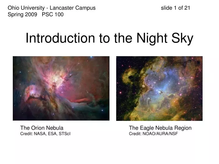
Ohio University - Lancaster Campus slide 1 of 21 Spring 2009 PSC 100. Introduction to the Night Sky. The Orion Nebula Credit: NASA, ESA, STScI. The Eagle Nebula Region Credit: NOAO/AURA/NSF. Ohio University - Lancaster Campus slide 2 of 21 Spring 2009 PSC 100.

E N D
Ohio University - Lancaster Campus slide 1 of 21Spring 2009 PSC 100 Introduction to the Night Sky The Orion NebulaCredit: NASA, ESA, STScI The Eagle Nebula RegionCredit: NOAO/AURA/NSF
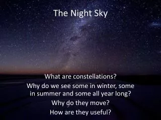
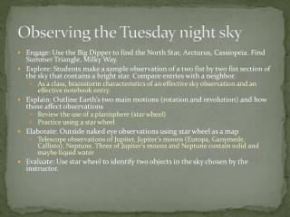
Ohio University - Lancaster Campus slide 2 of 21Spring 2009 PSC 100 This evening, we are going to investigate: • sky landmarks and the celestial sphere • coordinate systems • how to use a planisphere • how to use a constellation chart
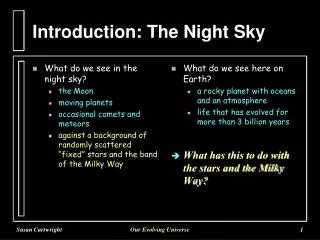
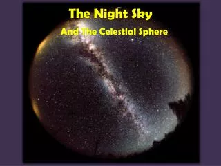
Ohio University - Lancaster Campus slide 3 of 21Spring 2009 PSC 100 The sky looks like a bowl overhead. • This is the celestial sphere. • Landmarks are the horizon and the zenith (point directly over your head.)
Ohio University - Lancaster Campus slide 4 of 21Spring 2009 PSC 100 Credit: astronomynotes.com
Ohio University - Lancaster Campus slide 5 of 21Spring 2009 PSC 100 • We use the compass points (cardinal points) for direction. • Starting at 0o north and turning clockwise, the angle around the horizon is the azimuth. • East is 90o, South 180o, West 270o • The angle above the horizon is the altitude. • What is the altitude of the zenith?
Ohio University - Lancaster Campus slide 6 of 21Spring 2009 PSC 100 • An imaginary line runs from due north, overhead through the zenith, to due south. • It splits the sky into an eastern (a.m.) half, and a western (p.m.) half. • What do “a.m.” and “p.m.” stand for? • What time is it, when the sun is directly on the meridian?
Ohio University - Lancaster Campus slide 7 of 21Spring 2009 PSC 100 • This first coordinate system (altitude-azimuth or alt-az for short) is the most familiar, but the least functional. Why? • A couple other sky landmarks… • The sky seems to turn about a point in the sky near the north star. • The north celestial pole.
Ohio University - Lancaster Campus slide 8 of 21Spring 2009 PSC 100 • The altitude of the north celestial pole is the same as your latitude above the equator. • What is the altitude of the north celestial pole here in Lancaster?
Ohio University - Lancaster Campus slide 9 of 21Spring 2009 PSC 100
Ohio University - Lancaster Campus slide 10 of 21 Spring 2009 PSC 100 • We can also project the earth’s equator into the sky - the celestial equator. • If the north celestial pole is 40o above the horizon here in Lancaster, what is the altitude of the celestial equator above the southern horizon? • Stars rise and set at this same angle with the horizon.
Ohio University - Lancaster Campus slide 11 of 21 Spring 2009 PSC 100 • Where do you think you’d be on the earth’s surface if… • the north celestial pole is at the zenith? • the north celestial pole is on the horizon and the celestial equator runs across the zenith?
Ohio University - Lancaster Campus slide 12 of 21 Spring 2009 PSC 100 • We now have a more useful coordinate system… • based on earth’s longitude (angle around earth’s equator, rather than the horizon) • based on earth’s latitude (angle up or down from the equator, rather than the horizon) • only one problem. What is it?
Ohio University - Lancaster Campus slide 13 of 21 Spring 2009 PSC 100 • Solution? Let the longitude rotate along with the sky. • Instead of placing 0o longitude above Greenwich, England, we choose to place it at a fixed point in the sky - the point of the spring equinox in the constellation Pegasus.
Ohio University - Lancaster Campus slide 14 of 21 Spring 2009 PSC 100 • To avoid confusion, we call celestial longitude right ascension. • Rather than give RA in degrees, we divide it into 24 hours (with each hour divided into 60 minutes and minutes into 60 seconds.) • Why would we do this?
Ohio University - Lancaster Campus slide 15 of 21Spring 2009 PSC 100 • Celestial latitude is called declination. • We do measure this angle in degrees, minutes, and seconds, of arc. • What is the declination of the north celestial pole? The south celestial pole? The celestial equator?
Ohio University - Lancaster Campus slide 16 of 21 Spring 2009 PSC 100 • Do the sun and planets move through the sky along the celestial equator?
Ohio University - Lancaster Campus slide 17 of 21 Spring 2009 PSC 100 Credit: astronomynotes.com
Ohio University - Lancaster Campus slide 18 of 21 Spring 2009 PSC 100 • The path of the sun and planets through the sky is the ecliptic. • The ecliptic is really the earth’s orbit projected into space. • The ecliptic intersects the celestial equator at the points of the spring and fall equinoxes. • What is the angle between the celestial equator and the ecliptic? Why?
Ohio University - Lancaster Campus slide 19 of 21 Spring 2009 PSC 100 • You may know the ecliptic, and the constellations along it, better as the zodiac. • How many zodiac constellations are there? • Capricornus, Aquarius, Pisces (Fall) • Aries, Taurus, Gemini (Winter) • Cancer, Leo, Virgo (Spring) • Libra, Scorpius, Sagittarius (Summer) • and…Ophiuchus? (Summer also)
Ohio University - Lancaster Campus slide 20 of 21 Spring 2009 PSC 100 Credit: www.lpi.usra.edu
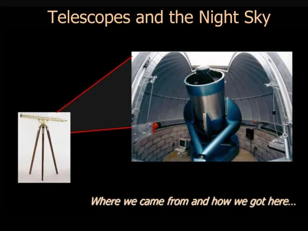
Ohio University - Lancaster Campus slide 21 of 21Spring 2009 PSC 100 • Next, we’re going to investigate 2 tools that will be useful in learning your way around the night sky • a star wheel or planisphere • a constellation chart