Download
1 / 38
380 likes | 386 Views
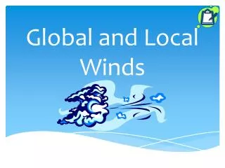
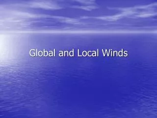
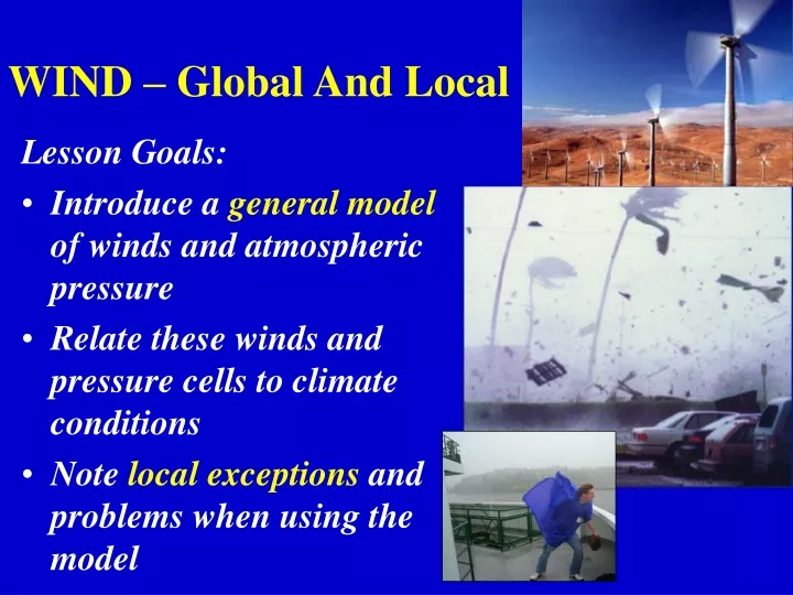
WIND – Global And Local. Lesson Goals: Introduce a general model of winds and atmospheric pressure Relate these winds and pressure cells to climate conditions Note local exceptions and problems when using the model. Wind. What causes wind?.

E N D
WIND – Global And Local Lesson Goals: • Introduce a general model of winds and atmospheric pressure • Relate these winds and pressure cells to climate conditions • Note local exceptions and problems when using the model
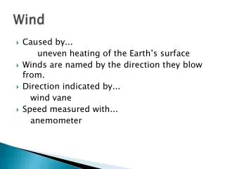
Wind • What causes wind? Wind results from the horizontal motion of air from areas of high surface pressure to areas of low surface pressure. High Low High Surface
Air Pressure Force exerted by air molecules per unit area (Result of compression of the air by gravity). This pressure force is omnidirectional.
Building a Model of Global Wind Circulation (1st Order Winds) N • Warm surface conditions or strongly rising air often produce low surface pressure • Cold surface conditions or strongly descending air often produce high surface pressure Where should we expect high pressure? Low pressure?
The Polar regions should consist of sinking cold air and high pressure. • The equatorial region should exhibit rising warm air and low pressure. Low High
High • Air masses diverge when they collide with an obstruction, including the earth’s surface and high level temperature inversions. Low
High • At roughly 300 north and south of the equator air that was warmed at the equator sinks back towards the surface as it cools and is forced into the decreasing circumference of the earth. 300 N High Low High 300 S
High Low • Again, when these air masses collide with the surface, they diverge. • Notice the emerging pattern of alternate bands of high and low pressure. • When surface air masses collide the effect is termed convergence. High Low High
Also notice the cyclical pattern of air motion between the equator and 300 N and S. These broad cells are called Hadley Cells, after the man who discovered them. • These convection cells are almost always present in the tropical regions. Hadley Cell Hadley Cell
Convergence between the tropics creates a large region of generally low pressure called the intertropical convergence zone (ITCZ). This area is often wet and cloudy.
T 600 N • Note that we now see warm midlatitude air colliding (converging) with cold polar air at roughly 600 N and S of the equator. • These Polar Fronts are other areas of relatively low pressure, atmospheric instability, and, as we’ll see, the source of most mid-latitude storms. 600 S
Warm air, of course, rises above the colder air from the polar regions, but convection cells, like the equatorial Hadley Cells, are not as common.
600 N • Now that we have finished this profile view of earth circulation let’s transfer the surface winds onto the diagram. 300 N 300 S 600 S
600 N • We have a problem. This diagram does not accurately depict Earth’s prevailing winds. Why? • We have neglected to consider that the earth is in constant rotation. This has a dramatic effect on wind direction. 300 N 300 S 600 S
The Coriolis Force • Apparent deflection of all free-moving objects from a straight path. • Caused by the Earth rotation eastward, out from under the path of the object. • Result? • Deflection to RIGHT in Northern Hemisphere • Deflection to LEFT in Southern Hemisphere • Zero Coriolis at Equator; max. at poles. • How does this work?
600 N • Thus, in actuality, the Coriolis force deflects all winds to the right of their intended direction in the northern hemisphere and to the left in the southern hemisphere. 300 N 300 S 600 S
Polar Easterlies 600 N • Each band of resulting prevailing winds is named. • Winds are labeled by their source direction (“where they came from”). Westerlies 300 N NE Trade Winds SE Trade Winds 300 S Westerlies 600 S Polar Easterlies
Equatorial Low Pressure Trough: Clouds and Rain • The Intertropical Convergence Zone (ITCZ) • Doldrums L ITCZ
Subtropical High-Pressure Cells: Hot Desert Air • The Horse Latitudes • Broad Cells of High Pressure H
Subpolar Low-Pressure Cells: Cool and Moist • Large semi-permanent low pressure band surrounds Antarctica • Aleutian Low • Icelandic Low
Polar High Pressure Cells: Frigid Deserts • Arctic and Antarctic Highs • Very dry, despite general snow cover. • Precipitation is rare, but rarely melts.
Map View of Wind Circulation L H Equator L H
Ocean Currents Note: Cold California Current
Ocean Currents Note: Dramatically Warm Gulf Stream
Summary • There are seven components to the global circulation model. From Pole to Equator they are: polar highs, subpolar lows, westerlies, subtropical highs, trade winds, and the intertropical convergence zone. • All of these patterns are displaced seasonally by earth-sun relationships. • Local and regional winds are sometimes more prevalent than the broader scale global winds of the model.
Exceptions to the model-Seasonal Variation and Localized Winds • Seasonal Latitude Shift • Monsoons • Mountain-Valley Winds • Land-Sea Breezes • Santa Ana Winds
Monsoon • Seasonal reversal of winds, not a storm • Arabic origin: ‘mausim’ meaning season
Bangladesh Summer Monsoon, India
L H 5x x
Compressional Heating Winds (Santa Ana Winds, Chinooks, Foehn Winds)