Download
1 / 24
240 likes | 372 Views
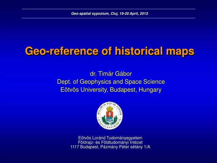
Geo-spatial sypozium, Cluj, 19-20 April, 2013. Geo-reference of historical maps. dr. Tim ár Gábor Dept. of Geophysics and Space Science Eötvös University, Budapest, Hungary. Eötvös Loránd Tudományegyetem Földrajz- és Földtudományi Intézet 1117 Budapest, Pázmány Péter sétány 1/A. Overview:.

E N D
Geo-spatial sypozium, Cluj, 19-20 April, 2013 Geo-reference of historical maps dr. Timár Gábor Dept. of Geophysics and Space Science Eötvös University, Budapest, Hungary Eötvös Loránd Tudományegyetem Földrajz- és Földtudományi Intézet 1117 Budapest, Pázmány Péter sétány 1/A
Overview: • Geo-reference of historical regional maps • Guess of the projection and projection parameters • Geo-reference using latitude and longitude lines, then the local projection • Export to Google Earth • A real difficult example: the Lazarus map of 1528
Try this: an old map of the historical Hungary Goetz & Probst, 1804
Try this: an old map of the historical Hungary Meridians: lines to a common pole; prime meridian: Ferro
Try this: an old map of the historical Hungary Parallels: mostly invisible but assumed to be concentric circles
Try this: an old map of the historical Hungary Standard parallel: from the meridian angles of the mapCentral meridian: the vertical oneOrigin latitude: not important
Try this: an old map of the historical Hungary Projection!GCPs should be converted into the real map projection
Try this: an old map of the historical Hungary Google Earth needs to reproject the map to WGS84/GEOGRAPHIC system...
Try this: an old map of the historical Hungary Google Earth needs to reproject the map to WGS84/GEOGRAPHIC system... and...
A much more harder target: Lazarus (1528) 600 GCPs from all around the map
„Brute force” way Linear fit to UTM33
„Brute force” way Quadratic fit to UTM33
„Brute force” way Cubic fit to UTM33
Geo-reference How to choose the standard parallel in the Equidistant Conic (Ptolemian) projection: false selection (left), correct selection (right)