Download
1 / 19
220 likes | 424 Views
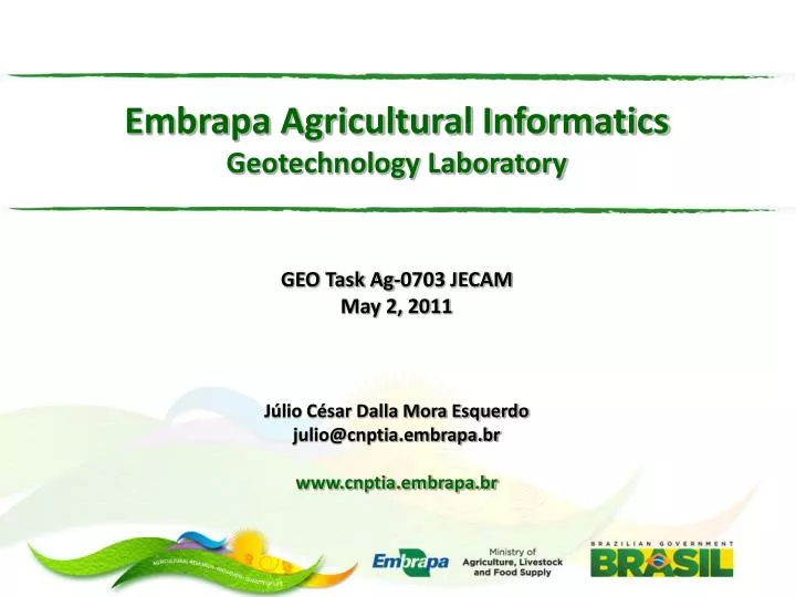
Embrapa Agricultural Informatics Geotechnology Laboratory GEO Task Ag-0703 JECAM May 2, 2011 Júlio César Dalla Mora Esquerdo julio@cnptia.embrapa.br www.cnptia.embrapa.br. Brief Overview of Embrapa. Brazilian Agricultural Research Corporation

E N D
Embrapa Agricultural InformaticsGeotechnology LaboratoryGEO Task Ag-0703 JECAM May 2, 2011Júlio César Dalla Mora Esquerdojulio@cnptia.embrapa.brwww.cnptia.embrapa.br
Brief Overview of Embrapa • Brazilian Agricultural Research Corporation • Created in 1973, Embrapa is a state-owned enterprise for agricultural and livestock research. • We are affiliated to the Ministry of Agriculture, Livestock and Food Supply. • There are over 9,000 employees in Embrapa, of which more than 2,000 are researchers, 18% with master's degrees and 74% with doctoral degrees . • Our Mission: To provide sustainable solutions for agribusiness through research, development and innovation, to the benefit of Brazilian society.
Research Centers of Embrapa in Brazil Embrapa Agricultural Informatics Campinas-SP
Embrapa Agricultural Informatics • Created in 1985, is located in the campus of the State University of Campinas • Research themes: information technology (IT), bioinformatics, agro-environmental modeling, computational intelligence, climate changes… and geotechnology. • Ten laboratories (research groups) • Geotechnology Laboratory (LabGeo) • Remote sensing applied to agricultural and environmental monitoring • Precision agriculture • Software development (image processing, web applications, map-servers)
Some Projects of LabGeo INTAGRO – Mapping and identification of agricultural intensification in sugar cane and soybeans production areas Main Objective: Tostudy the process of agricultural intensification and identify and map the regions where the process is happening, using time-series of MODIS images. • Harmonic Analysis of time-series and decision trees • Crop mask and crop types in the State of Mato Grosso • Social and economic analysis of the results
Single crops (yellow) and double crops (red) in 2005/2006 Source: Embrapa Agricultural Informatics
Single crops (yellow) and double crops (red) in 2008/2009 Source: Embrapa Agricultural Informatics
Some Projects of LabGeo GeoMS – Geographic Information Systems to support decision making in the State of Mato Grosso do Sul Main Objective: Provide the Government of the Mato Grosso do Sul State with information for environmental licensing activities Main Results… • Environmental data collecting, modelling and organization using a GIS • Vegetation, deforestation and land use maps • Development of SISLA – Interactive System for Environmental Licensing Support
Some Projects of LabGeo Vegetation cover maps Watersheds Hydrographic network Areas of permanent protection Indigenous areas Remote sensing data Elevation data SISLA – Interactive System for Environmental Licensing Support http://sisla.imasul.ms.gov.br
Some Projects of LabGeo TerraClass Main Objective: Land use mapping in the deforested Amazon • PRODES – Deforestation mapping of the Brazilian Amazon • Land use mapping in the deforested areas • Regenerated forest? • Pasture? • Agriculture? • Partners: Embrapa Oriental Amazon and INPE/CRA • TerraClass is sponsored by WordBank
Results: Software development Tree counting (cashium tree) Total error: 2,5% (mean) Quality of result: Depending on crop conditions and image quality Satellite: Quickbird Resolution: 0.6 m • Research: man-machine interface, image processing, pattern recognition (genetic algorithms, neural networks)
The MAPAGRI Project • Moniroring the Brazilian agriculture dynamics • The dynamics of land use and land cover in Brazil involves disordered processes, which are out of step with initiatives of territorial planning. • There are problems related to the monitoring of the spatial dynamics of crop and its phenological development in the field at the national scale. • Despite the strategic importance of agriculture to the Brazilian economy, the monitoring of land use dynamics depends on the development of more efficient systems.
The MAPAGRI Project • Main Objective • Development of a low cost methodology of mapping and monitoring of the main crops in Brazil based on the temporal analysis of vegetation indexes, at the national scale. • Queries • Is it possible to develop a unique national methodology for monitoring the agricultural dynamics based on the vegetation indexes obtained from high temporal resolution sensors? • Is it possible the identification, systematic mapping and monitoring of the main commodities crops: soybean, corn, sugar cane, wheat and cotton?
The MAPAGRI Project • The MAPAGRI Project • Proposal submitted to Embrapa (under evaluation). • Research Network • Bringing together different expertise and regional experience in the country, the project will assess the integration of different research groups, in order to discuss the adaptations of regional methods and the definition of a national methodology.
The MAPAGRI Project • Our Partners • 4 Units of Embrapa • 2 State Universities (Unicamp and Unioeste) • 3 Federal Universities (UFRGS, UFG and UFPE) • 3 Research Centers (Cepagri, Simepar and INPE) • University of Kansas
The MAPAGRI Project • Some methodologies • MODIS NDVI and EVI data (250m, 16 days) • Simple crop mapping methods based on the temporal variation of vegetation index • Harmonic Analysis (Fourier and Wavelet Transform) • What do we expect? • Integrate different regional experiences to build a low cost and systematic crop mapping method of the Brazilian agriculture • Development of a geo-spatial database and a Web interface in order to make the results available
Embrapa Agricultural InformaticsGeotechnology LaboratoryThank you!Júlio César Dalla Mora Esquerdojulio@cnptia.embrapa.brwww.cnptia.embrapa.br