Download
1 / 25
250 likes | 444 Views
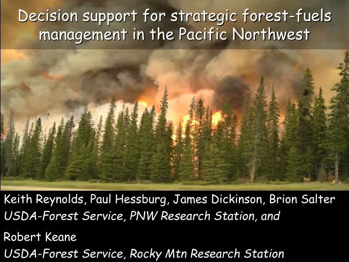
Decision support for strategic forest-fuels management in the Pacific Northwest. Keith Reynolds, Paul Hessburg, James Dickinson, Brion Salter USDA-Forest Service, PNW Research Station, and Robert Keane USDA-Forest Service, Rocky Mtn Research Station.

E N D
Decision support for strategic forest-fuels management in the Pacific Northwest Keith Reynolds, Paul Hessburg, James Dickinson, Brion Salter USDA-Forest Service, PNW Research Station, and Robert Keane USDA-Forest Service, Rocky Mtn Research Station
We present a DSS for the evaluation of severe wildfire danger • Built with EMDS system • We demonstrate the system in the PNW Region • but expansion to the CONUS is underway
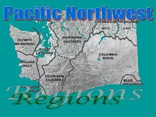
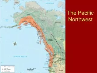
Subwatersheds: eval. unit • 12 digit HUCs, USGS_NHD • 5,052 subwatersheds in PNW • Average size: 8,637 ha • Total area: ~ 43.63 million ha • 7 map zones WA EROS Data Center ID OR CA NV LANDFIRE Map Zones: Biophysical land units (66) defined by similar landforms, land cover & natural resources
Outline • DSS consists of a logic model (NetWeaver) and a decision model (CriteriumDecisionPlus, CDP) • Outline of logic • Summary of data sources • Logic model evaluates the existing state of each watershed with respect to fire danger • Structural and behavioral variants • Ensembles of behavioral variants • Decision model considers fire danger conditions in the context of other values/conditions to determine fuel treatment priorities for watersheds.
Data sources attributed to watersheds *Metrics are an index, combining percent land area and an aggregation index from Fragstats
Six structural variants Fire danger 2 Fire danger 1 Fire danger 3 (Preparedness) Fire danger 4 Fire danger 6 Fire danger 5 (Fuel treatment)
Four behavioral variants and three ensembles • Behavioral variants • FIREHARM, event mode (Keane) • FIREHARM, probabilistic mode (Keane) • Large fire simulator (Finney) • Statistical model (Parisien MaxEnt MLA, full) • Ensembles of behavioral variants • AND (limiting factors) • UNION (compensating factors) • OR (least limiting) • These are a logical analog to confidence limits
Fire danger U Climate influence
fire hazard * Data layers (30-m pixel resolution) from LANDFIRE project at www.landfire.gov
MAX (no support) Full Support Median 80% range of AIPL of “High” CBD None 10% 90% AIPL value MIN (full support) Values above/below either MIN and MAX are interpolated from a ramp function of the associated index. With increasing AIPL of High CBD, we see decreasing support for the premise that crown fuels do not support severe wildfire in the w’shed
Fire Behavior FIREHARMevent FIREHARMprobabilistic FSim MaxEnt Ensemble AND Ensemble UNION Ensemble OR
Fire Danger 3 FIREHARMevent FIREHARMprobabilistic FSim MaxEnt Fire danger 3 Ensemble AND Ensemble UNION Ensemble OR
Fire Danger 4 FIREHARMevent FIREHARMprobabilistic FSim MaxEnt Fire danger 4 Ensemble AND Ensemble UNION Ensemble OR
Fire Danger 4 with ensemble union Fire Behavior Ensemble UNION Fire Hazard Ignition Risk Climate Influence Fire danger 4
Decision model for fuel treatment Decision criteria are the wildfire danger topics, threat to WUI, and biomass opportunity in a watershed. Ensemble union, structural variant 4
Additional data sources for decision model • Threat to WUI • LANDSCAN 2006 • Percent subwatershed area in WUI Class 1 (Intermix, >= 1 house per 40 acres) • FIREHARM event mode, threat class 3 • Fireline intensity, flame length, and rate of spread, exceeding high thresholds of400 kW·m-1, 2m, and 5.0 km·hr-1 • Biomass • FIA 2008, biomass within 500m of local and secondary roads • Roads from 2010 Tiger Census and FS geodata road layers
Priority scores from PA engine (CDP) Highlighted region in histogram corresponds to selected watersheds in the map. 117 top-rated watersheds for fuel treatment priority (2.3%).
EMDS support for fuel treatment • The DSS provides a rational, transparent, repeatable process to prioritize watersheds for fuels treatments • The system is highly adaptable as available data, experience, and knowledge change • Contributions of variables & decision criteria to outcomes are transparent and known. • Mid-scale basis enables multi-scale decision analysis by map zone, Dept, agency, region, forest, district… • Analyses can include all ownershipsto support integrated cross-ownership decisions. • Current model addresses 7 map zones. • We are expanding to the CONUS. WA ID OR NV CA
Financial and in-kind support: Pacific Northwest Research Station Rocky Mountain Research Station USFS Region 6 National Fire Plan LANDFIRE project
Correlations between behavior models All Pearson correlation coefficients are significant at alpha = 0.01 except those in red.