Download
1 / 22
230 likes | 339 Views
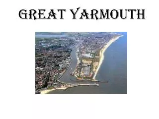
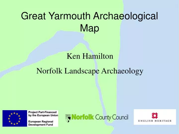
Great Yarmouth Archaeological Map. Ken Hamilton Norfolk Landscape Archaeology. Early History of Great Yarmouth. Founded probably between 900AD and 1000AD Listed in Domesday as having 70 burgesses Fifth wealthiest town in England in 1334 Population of 5,000 Town walls built 1289 – 1350

E N D
Great Yarmouth Archaeological Map Ken Hamilton Norfolk Landscape Archaeology
Early History of Great Yarmouth • Founded probably between 900AD and 1000AD • Listed in Domesday as having 70 burgesses • Fifth wealthiest town in England in 1334 • Population of 5,000 • Town walls built 1289 – 1350 • Rows in place by the time the Wall was built
The Rows • Developed late 13th/early 14th century. • Possibly Scandinavian origin
Project Aim • to promote and improve the understanding of Great Yarmouth’s archaeological resources by • determining the current state of archaeological knowledge of the town • assessing the importance and potential of the archaeological resource • expanding current knowledge of the archaeology of the town by creating deposit maps
Project Aim • to promote and improve the understanding of Great Yarmouth’s archaeological resources by • determining the current state of archaeological knowledge of the town • assessing the importance and potential of the archaeological resource • expanding current knowledge of the archaeology of the town by creating deposit maps
Great Yarmouth EUS • Extensive Urban Survey report • Feeds directly into planning system • May lead to supplementary planning guidance
Project Aim • to promote and improve the understanding of Great Yarmouth’s archaeological resources by • determining the current state of archaeological knowledge of the town • assessing the importance and potential of the archaeological resource • expanding current knowledge of the archaeology of the town by creating deposit maps
GYAM Borehole Investigations • 144 boreholes • Drilled in 3 Phases • Phase 1 to test method • Phase 2 to collect data • Phase 3 to test model
Borehole Investigations • 144 boreholes • Average depth 5m • Window samples from entire borehole taken • Samples logged and sieved • Layers dated by pottery and wood
St Nicholas Church Howard St. Undercrofts Fuller’s Hill The Tolhouse Early Medieval Yarmouth
GPR across the Town Wall • Cross borehole tomography • Single-fold data collection • Multi-fold data collection
Distance (m) Time (ns) Hyperbolae in the near surface: drain covers GPR Interpretation Archaeological strata Continuous Strata – Town ditch deposits Discontinuity – possibly the wall foundation?
“Great Yarmouth … the strangest town in the wide world” – Charles Dickens Ken Hamilton Norfolk Landscape Archaeology ken.hamilton@norfolk.gov.uk www.gyam.org.uk