Download
1 / 2
20 likes | 121 Views
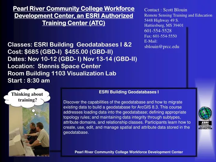
Pearl River Community College Workforce Development Center, an ESRI Authorized Training Center (ATC) Classes: ESRI Building Geodatabases I &2 Cost: $685 (GBD-I) $455.00 (GBD-II) Dates: Nov 10-12 (GBD- I) Nov 13-14 (GBD-II) Location: Stennis Space Center Room Building 1103 Visualization Lab

E N D
Pearl River Community College Workforce Development Center, an ESRI Authorized Training Center (ATC) Classes: ESRI Building Geodatabases I &2 Cost: $685 (GBD-I) $455.00 (GBD-II) Dates: Nov 10-12 (GBD- I) Nov 13-14 (GBD-II) Location: Stennis Space Center Room Building 1103 Visualization Lab Start : 8:30 am Contact : Scott Blouin Remote Sensing Training and Education 5448 Highway 49 S. Hattiesburg, MS 39401 601-554-5528 Fax: 601-554-5550 E-Mail: sblouin@prcc.edu ESRI Building Geodatabases I Discover the capabilities of the geodatabase and how to migrate existing data to build a geodatabase for ArcGIS 8.3. This course addresses loading data into the geodatabase; defining appropriate topology rules; and maintaining data integrity through subtypes, attribute domains, and relationship classes. Participants learn how to create, use, edit, and manage spatial and attribute data stored in the geodatabase. Pearl River Community College Workforce Development Center Thinking about training?
ESRI Building Geodatabases II Overview Extend the content of Building Geodatabases I with advanced understanding for modeling and working with linear features in the geodatabase. This course teaches the nuances of working in geometric networks. Participants learn how to create, edit, and perform analyses on geometric networks; how to manage linear-referenced data for displaying data that occurs along linear features; how to edit linear features in the field using ArcPad; and how to migrate coverage arcs, routes, and events to the geodatabase. Audience This course is for spatial data managers who work with linear features and are ready to take advantage of the geometric network and linear referencing capabilities of the geodatabase.