Download
1 / 33
330 likes | 461 Views
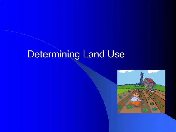
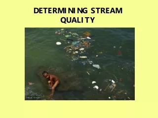
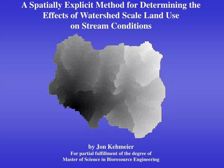
A Spatially Explicit Method for Determining the Effects of Watershed Scale Land Use on Stream Conditions by Jon Kehmeier For partial fulfillment of the degree of Master of Science in Bioresource Engineering. Study Objectives.

E N D
A Spatially Explicit Method for Determining the Effects of Watershed Scale Land Use on Stream Conditions by Jon Kehmeier For partial fulfillment of the degree of Master of Science in Bioresource Engineering
Study Objectives • Identify and quantify the impacts that various land use practices have on native fish • Develop a method that accounts for complexity of agricultural watersheds
Site Selection • Identified 142 agricultural basins • Rank based on percentage of each agricultural land in basin • Ag: Row Crop, Annual Grass, Perennial Grass Orchard/Berry, Pasture • Non-Ag: Urban, Riparian/Wetland, Forest • Develop histograms based on ranks
Sampling Efforts • Backpack Electrofishing • In-stream habitat evaluation • Terrestrial land use evaluation
Model Development • Assumptions • Each land use has a unique and measurable effect on stream fish communities • All portions of a basin have an impact • Land use near the sampled reach has larger impact • Response of fish community is a function of upstream landscape
Model Development • Grid Development • Land Use/Land Cover (LULC) grid • Flow direction grid • Stream network grid • Use for development of algorithms to determine cell-specific flow paths
Model Development • Compute lengths of flow paths Total distance In-stream distanceOut-of-stream distance
Model Development • Influence of one land use cell • Sum Icells for each land use in a watershed and use sum as influence measure of that land use
Row Crops Ann. Grass Per. Grass Orch/Berry Pasture Urban Riparian Forest Streams Sampled Reach
Model Development • Total distance model (TLU)
Model Development • In-stream/Out-of-Stream (InOut) Model
Results • Analysis showed no evidence of annual variations within replicated sites • Biomass of native benthic dwelling fish most significant response • Model using squared in-stream and out-of-stream metrics most successful
Discussion of Model Coefficients • Instream row crop • Increased runoff / baseflows • Eutrophication • Instream grass metric • Surface roughness • Mimics natural vegetation • Out of stream annual grass • Autumn disturbance
Discussion of Model Coefficients • Out of stream urban • Flashy runoff events • Silt and organic substrates • Loss of habitat