Download
1 / 12
120 likes | 220 Views
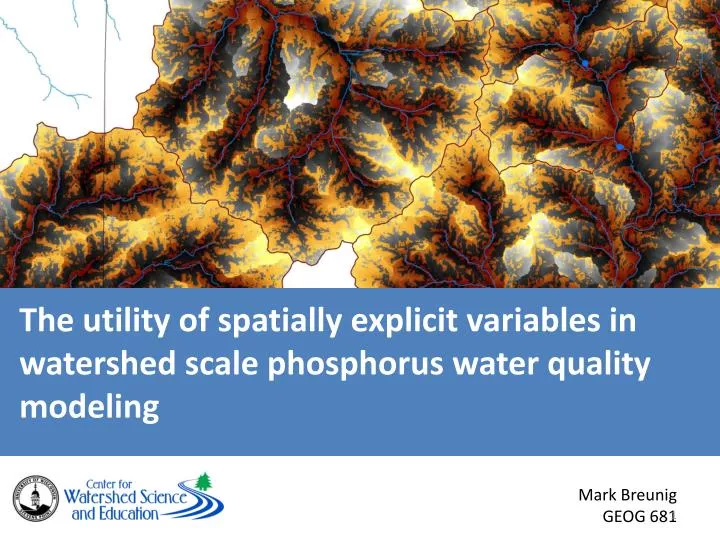
The utility of spatially explicit variables in watershed scale phosphorus water quality modeling. Mark Breunig GEOG 681. What?. The utility of spatially explicit variables in watershed scale phosphorus water quality modeling. Why?.

E N D
The utility of spatially explicit variables in watershed scale phosphorus water quality modeling Mark Breunig GEOG 681
The utility of spatially explicit variables in watershed scale phosphorus water quality modeling
Why? Although efforts are underway to set stream standards in Wisconsin and elsewhere, there is still controversy regarding the mechanisms that control stream phosphorous concentrations. This represents a collective misunderstanding of the fundamental processes that control water quality at the catchment scale (Boomer et al. 2008). It is a very common practice for researchers to attribute poor results to inadequate spatial data (Hunsaker et al. 1995; Soranno et al. 1996; Jain et al. 2000; Jones et al. 2001; Richards et al. 2006; Boomer et al. 2008).
WARNING: USLE & its derivatives used at the “field scale” = USLE & its derivatives used at the “watershed scale” =
Purpose of Model: to increase the effectiveness of watershed-scale phosphorus water quality modeling Taxonomy of Model: Deterministic, empirical, inductive Data Inputs: Field Data collected by USGS 2001 NLCD (National Land Cover Database) - USGS 30 DEM – USGS SSURGO – NRCS
R2 = 43% p < 0.001 2001 – 157 sites 2002 – 78 sites 2003 – 5 sites Total: 240 sites
Pixel Value (proportion – no units) Σ(eFLag* β) Σ(eFLall* β)
Problems SSURGO !!! 30 m DEM!!! Model Conceptualization
Further Work CV Slope Cumulative Slope Ksat_r