Download
1 / 1
10 likes | 79 Views
North Yamhill River Watershed – Yamhill & Washington County, Oregon. Prepared by: Courtney A. Stowell ES 492. INTRODUCTION

E N D
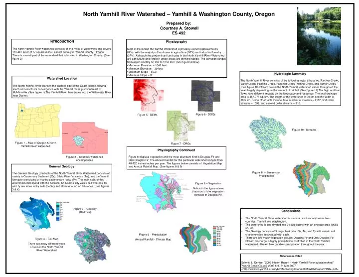
North Yamhill River Watershed – Yamhill & Washington County, Oregon Prepared by: Courtney A. Stowell ES 492 INTRODUCTION The North Yamhill River watershed consists of 445 miles of waterways and covers 113,441 acres (177 square miles), almost entirely in Yamhill County, Oregon. There is a small part of the watershed that is located in Washington County. (See figure 2) • Physiography • Most of the land in the Yamhill Watershed is privately owned (approximately 87%), with the majority of land uses in agriculture (60%) and industrial forestry (37%). Although the predominant land uses in the North Yamhill River Watershed are agriculture and forestry, urban areas are growing rapidly. The elevation ranges from approximately 50 feet to 1050 feet. (See figures below) • Maximum Elevation – 1043 feet • Minimum Elevation – 20 feet • Maximum Slope – 66.21 • Minimum Slope – 0 Hydrologic Summary The North Yamhill River consists of the following major tributaries: Panther Creek, Baker Creek, Haskins Creek, Fairchild Creek, Yamhill Creek, and Turner Creek. (See figure 10) Stream flow in the North Yamhill watershed varies throughout the year, largely depending on the amount of rainfall. (See figure 11) The high and low flows have different impacts on the landscape and resources. The total drainage area is 457,275 sq. km. The length of the watershed is 29 km and the width is 18.5 km. Some other facts include: total number of streams – 2162, first order streams – 1096, and second order streams – 510. Watershed Location The North Yamhill River starts in the eastern side of the Coast Range, flowing south and east to its convergence with the Yamhill River, just southeast of McMinnville. (See figure 1) The Yamhill River then drains into the Willamette River near Dayton. Figure 6 - DOQs Figure 5 - DEMs Figure 10 - Streams Figure 1 – Map of Oregon & North Yamhill River watershed Figure 7 - DRGs Physiography Continued Figure 6 displays vegetation and the most abundant kind is Douglas Fir and Oak-Douglas Fir. The Annual Rainfall for this particular watershed ranges from 40-120 inches inches per year. The figures below consists of: Vegetation Map and Annual Rainfall Map. (See figures 8 & 9) Figure 2 – Counties watershed encompasses General Geology The General Geology (Bedrock) of the North Yamhill River Watershed consists of mainly is Quaternary Sediment (Qs), Siletz River Volcanics (Tsr), and the Yamhill formation consisting of marine sedimentary rocks (Ty). The main soils of this watershed correspond with the bedrock. So Qs has silty valley soil whereas Tsr and Ty are more rocky soils (cobbly and stoney) found on hillslopes. (See figures 3 & 4). Figure 11 – Streams on Precipitation Figure 8 – Vegetation Notice in the figure above that most of the vegetation consists of Douglas Fir. Figure 3 – Geology (Bedrock) • Conclusions • The North Yamhill River watershed is unusual, as it encompasses two counties: Yamhill and Washington. • The watershed is sub-divided into 24 sub-basins with an average area 19053 sq. km. • The Geology consists of 3 major bedrocks: Qs, Tsr, and Ty with certain soil characteristics associated with each. • There are two major vegetation groups: Douglas Fir and Oak-Douglas Fir. • Stream discharge is highly precipitation controlled in the North Yamhill watershed. Stream flow parallels precipitation throughout the year. Figure 9 – Precipitation Annual Rainfall - Climate Map Figure 4 – Soil Map There are many different types of soils in the North Yamhill River Watershed References Cited Schmit, L. Denise. "2005 Interim Report - North Yamhill River subwatershed." Yamhill Basin Council 2005 8-9. 21 Mar 2007 <http://www.co.yamhill.or.us/ybc/Monitoring/Interim2005WQMPreportFINAL.pdf>.