Download
1 / 22
220 likes | 354 Views
W2/8/12. Conflict Between States (Ch. 8.2 – pp. 247-256). I. Shapes of States. A. Five basic shapes 1. Compact = close to equal distance from center efficient – good communication 2. Elongated = long & narrow shape potential isolation – poor communication Ex: Malawi, Chile, Italy, Gambia

E N D
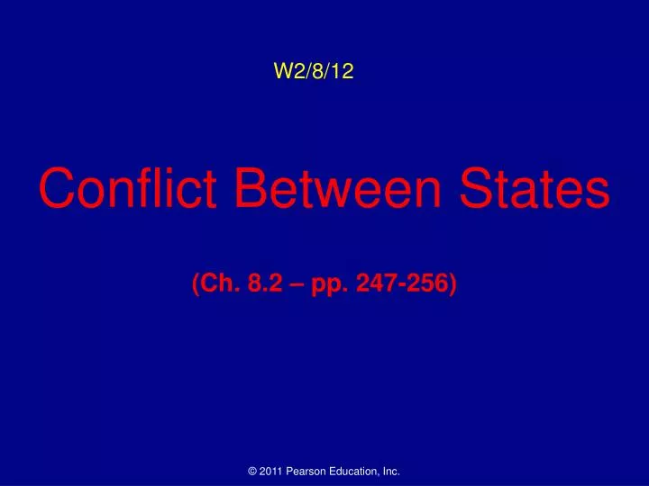
W2/8/12 Conflict Between States (Ch. 8.2 – pp. 247-256)
I. Shapes of States A. Five basic shapes • 1. Compact = close to equal distance from center • efficient – good communication • 2. Elongated = long & narrow shape • potential isolation – poor communication • Ex: Malawi, Chile, Italy, Gambia • 3. Prorupted = compact state w/ protruding extension • access or disruption; often related to water source (Congo) or holdover from imperialism (Namibia; Afghanistan) • 4. Perforated = completely surrounds another state • South Africa w/ Lesotho; Gambia w/ Senegal • 5. Fragmented = non-contiguous parts – problematic • Often due to water (Tanzania, Indonesia) or imperialism (Angola, Panama, India’s Tin Bigha corridor, Russia)
I. Shapes of States B. Landlocked states • state that lacks direct access to sea • most common in Africa (Botswana, Zimbabwe, etc.) • but present on most continents (Bolivia & Paraguay) • need good relations w/ neighbors – why? • potential problems?
II. Types of Boundaries A. Physical • 1. Desert boundaries • Most common in Africa & Asia – Sahara & Gobi • 2. Mountain boundaries • Andes, Alps, Himalayas • Early U.S. history – Appalachian (British vs. French) • 3. Water boundaries • Rivers, lakes, oceans • River borders often change over time (Rio Grande) • Differences worked out w/ mediators
II. Types of Boundaries B. Cultural • 1. Geometric boundaries • line or arc • U.S.-Canadian border – 49th parallel (MN-Pacific) • occasional conflict – Libya-Chad (Aozou strip) • 2. Human features • language (most of Europe traditionally; esp. after WWI) • religion (India/Pakistan, Northern Ireland) • ethnicity – often problematic (esp. Balkans, former USSR)
II. Types of Boundaries C. Cyprus’ “Green Line” Boundary • independent since 1960 divided by ethnicity • Greek (S) & Turkish (N) • wall built to separate regions • includes buffer zone • forced migration ensued • sides closer in recent years
Cyprus’ Two Zones: Turkish - North Greek - South
II. Types of Boundaries • D. Frontiers vs. Boundaries • boundary = invisible line marking extent of state’s territory • frontier = zone where no state has full control • frontiers were usually lightly inhabited • most frontiers have become boundaries recently • ex: Arabian peninsula
III. Boundaries Inside States • Unitary States • most of power in central government • more common in smaller states • Ex: USSR, China, traditional France (see below) B. Federal States • shared power b/w central and local gov’ts • more common in larger states • Ex: USA, Canada, Russia, Belgium • globally, there is a trend toward federations • Ex: France recently; Poland post-Communism
III. Boundaries Inside States (cont.) C. Electoral Geography • boundaries within the United States are used to create legislative districts based on cenusus • gerrymandering = process of redrawing legislative boundaries to help party in power • named for Elbridge Gerry (MA Gov. & VP) • three types: wasted, excess, and stacked vote • wasted = spread opposition over districts but in minority • excess = concentrate opposition in high #s in a few districts • stacked = links distant voters, used to help particular groups • illegal (1985 U.S. Supreme Court decision); • difficult to enforce • still some new gerrymandered districts created (2001 NC) – why?
52% - 5 districts 48% - 0 districts D1 D2 D3 D4 D5
52% - 1 districts 48% - 4 districts D1 D2 D3 1 – 13A, 2 – 13A, 3 – 13A, 4 – 13A, 5 – 13A D4 D5
52% - 3 districts 48% - 2 districts D1 D2 D4 D3 D5