Download
1 / 19
210 likes | 517 Views
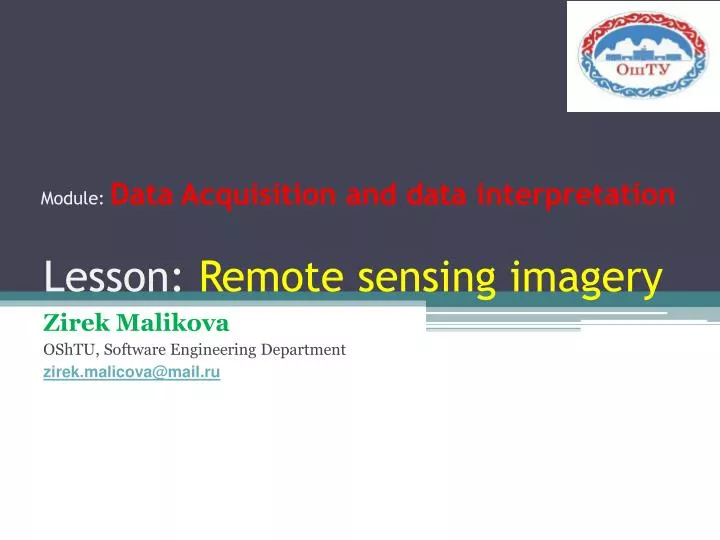
Module: Data Acquisition and data interpretation. Lesson: Remote sensing imagery. Zirek Malikova OShTU, Software Engineering Department zirek.malicova@mail.ru. Objectives:. Definition of remote sensing. Basics of remote sensing. Remote sensing software. Tasks for students . References.

E N D
Module: Data Acquisition and data interpretation Lesson: Remote sensing imagery Zirek Malikova OShTU, Software Engineering Department zirek.malicova@mail.ru
Objectives: • Definition of remote sensing. • Basics of remote sensing. • Remote sensing software. • Tasks for students. • References.
What is Remote Sensing? "Remote sensing is the science (and to some extent, art) of acquiring information about the Earth's surface without actually being in contact with it. This is done by sensing and recording reflected or emitted energy and processing, analyzing, and applying that information." [A Canada Centre for Remote Sensing Remote Sensing Tutorial]
Basics of remote sensing • Physical basics • Satellite systems • Visual image interpretation • Image processing and enhancement • Classification techniques
Physical basics • electromagnetic spectrum, • radiation and absorption principles, atmospheric influences • Energy interpretation with earth surface features • spectral reflectance properties
Energy Interaction with Earth Surface Features Specular and diffuse reflectance.
Satellite orbits • Geostationary orbit (METEOSAT) Synchronous (polar) Orbit (LANDSAT)
Satellite sensors Active sensors Passive sensors
Resolutions • Spatial • Spectral • Radiometric • Temporal
Spatial resolution • Low resolution: larger 30 m • Medium resolution: 2-30 m • High resolution: under 2 m
Spectral resolutions LANDSAT and SPOT spectral resolution
Visual image interpretation 1. the recognition of objects 2. a true interpretation Schematic presentation of the Interpretation Process.
Image enhancement • Histogram Stretches • Filter
Image classification Unsupervised Classification Supervised Classification
Remote sensing software • Open source • GRASS GIS • QGIS • OSSIM • ERDAS • MapInfo • ESRI • AutoDesk • IDRISI • RemoteView
Tasks for students 1. How can we do image interpretation in QGIS?
References 1.http://www.seo-sproject.eu/modules/ remotesensing/remotesensing-c01-p01.html