Download
1 / 35
350 likes | 488 Views
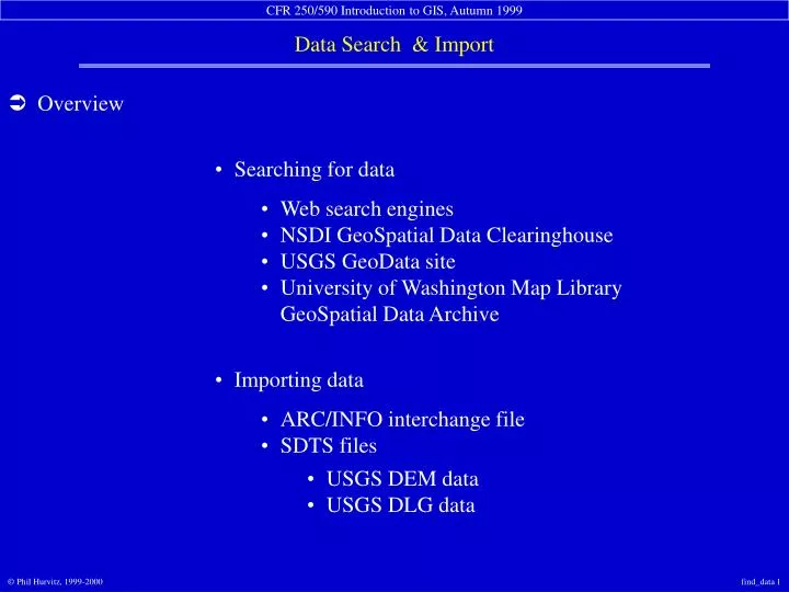
Overview. Searching for data. Web search engines NSDI GeoSpatial Data Clearinghouse USGS GeoData site University of Washington Map Library GeoSpatial Data Archive. Importing data. ARC/INFO interchange file SDTS files. USGS DEM data USGS DLG data. Searching for data. Web search engines

E N D
Overview Searching for data Web search engines NSDI GeoSpatial Data Clearinghouse USGS GeoData site University of Washington Map Library GeoSpatial Data Archive Importing data ARC/INFO interchange file SDTS files USGS DEM data USGS DLG data
Searching for data Web search engines NSDI GeoSpatial Data Clearinghouse USGS GeoData site University of Washington Map Library GeoSpatial Data Archive
Searching for data: Web search engines The primary method for searching for general data on the net Keyword searching Logical parsing of searches Search is far and wide Possible to use meta-searchers Graphical results Low precision
Searching for data: Web search engines Search“GIS&data” Results are good
Searching for data: Web search engines Search “GIS&data&Washington” Results are bad
Searching for data: Web search engines Why are web search engines not the best tool for searching GIS data? Spiders only find and index keywords, not meaning Searching for keywords is not efficient Too many erroneous matches Not a true database query No spatial coordinates in normal search engines Too many dead ends and broken links No standard format for searching various engines
Searching for data: NSDI GeoSpatial Data Clearinghouse (GDC) Better methods are needed for searching for GIS data Federal agencies mandated to increase access to geospatial data National Spatial Data Infrastructure (NSDI) Federal Geospatial Data Committee Development of common search engine Standardized approach Queryable databases (Z39.50 international library standard) Specific server network built on top of the Network Metadata is the keystone
Searching for data: NSDI GDC: Metadata Content-standardized metadata is the foundation of a robust searching tool Records for individual data sets contain data for specific fields, e.g., Title Abstract Spatial extent Data type Currency of time scale Source scale Developer/Contact information
Searching for data: NSDI GDC: Indexed databases Metadata records are indexed into international library Z39.50 standard databases Specific sites containing indexes (nodes) are registered with search server sites Searches can be limited to individual nodes or to many nodes Databases are searchable across TCP/IP networks Searching functions are imbedded in web interfaces Results are displayed in web pages
Searching for data: NSDI GDC: Searching Search by place name orgeographic location
Searching for data: NSDI GDC: Searching Search by time period Search by keyword in various fields
Searching for data: NSDI GDC: Searching Select node to search
Number of hits is displayed Individual records can be browsed • Searching for data: NSDI GDC: Results
Searching for data: NSDI GDC: Results Individual record titles can be browsed
Particular data are hyperlinked • Searching for data: NSDI GDC: Results Individual records can be read
Searching for data: NSDI GDC: Results Find out where to get copies of the data
Searching for data: USGS GeoData site A tremendous amount of data area available for “free” Data sets representing USGS topographic quadrangles Data from paper maps converted to digital format DEM (raster elevation) data Vector data for a variety of themes Variety of source scales
7.5’ (1:24,000) topographicquadrangle vector data series Always review 00README files • Searching for data: USGS GeoData site
Individual files are downloadable • Searching for data: USGS GeoData site: Downloading Interactive quadrangle searching Text-only searching also available
Searching for data: University of Washington Map Library GeoSpatial Data Archive (WAGDA) Staffed by “GIS Librarian” Jenny Stone Should be your first stop when searching for GIS data Depository library Suzzallo Library basement Data repository for Washington and PNW data On-line and off-line data sets City of Seattle GIS database 10 m USGS DEMs Large collection of paper maps & aerial photos
Importing data ARC/INFO interchange file SDTS files USGS DEM data USGS DLG data
Importing data: ARC/INFO interchange file ARC/INFO has been a leading software Very common file format Known as “interchange,” “export,” or “E00” file Easy to transfer from machine to machine or across file system; easy to distribute via the Network Can be imported into ARC/INFO format for use in ArcView
some of these files are associated with this data set • Importing data: ARC/INFO file structure
Importing data: ARC/INFO file structure Problematic file structure for file management Directories for ARC/INFO data sets cannot be altered, copied, or moved arbitrarily Interchange file “packages” coverage directoryand info files into a single interchange file
Importing data: ARC/INFO file structure: Importing menu access to importing application
GUI-controlledimport function data imported asARC/INFO coverage • Importing data: ARC/INFO file structure: Importing
Importing data: SDTS files USGS digital elevation model (DEM) data USGS digital line graph (DLG) data
Importing data: SDTS files: USGS DEM data publicly available data sets distributed by USGS in SDTS file format public-domain tools for conversion from SDTS
public-domain converter input SDTS output DEM • Importing data: SDTS files: USGS DEM data
Importing data: SDTS files: USGS DEM data ArcView imports USGS format DEMs
Importing data: SDTS files: USGS DLG data vector format data publicly available data sets distributed in zipped or SDTS file format public-domain tools for conversion from SDTS to DXF ARC/INFO or other commercial softwarefor full conversion of SDTS to GIS data sets
Importing data: SDTS files: Importing STDS DLG to ARC/INFO coverage