Download
1 / 22
290 likes | 966 Views
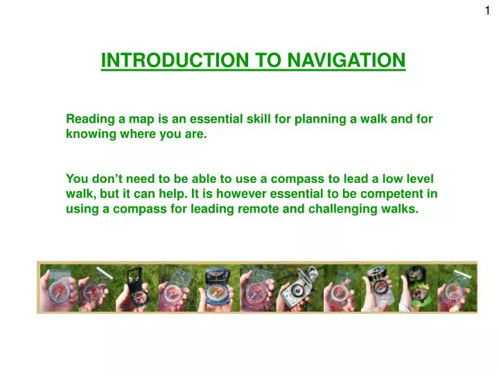
1. INTRODUCTION TO NAVIGATION. Reading a map is an essential skill for planning a walk and for knowing where you are.

E N D
1 INTRODUCTION TO NAVIGATION Reading a map is an essential skill for planning a walk and for knowing where you are. You don’t need to be able to use a compass to lead a low level walk, but it can help. It is however essential to be competent in using a compass for leading remote and challenging walks.
2 MAPPING BASICS
3 MAP TYPES 1:25000 Explorer 1:50000 Landranger Best to check date of issue as landmarks can change over time. Other maps are available, such as Harvey's.
6 AUDIENCE PARTICIPATION! WHERE AM I? Give everyone 4 or 5 Grid References from the map and ask them to identify what they find there
7 MEASURING SCALE 1:25 000 OS Explorer 1:50 000 OS Landranger It might help you to remember that the larger the number in the scale, the smaller the scale of the map will be.
AUDIENCE PARTICIPATION! MAP SYMBOLS 8 Split into groups and identify the symbols
9 CONTOURS How high is each hill?
12 AUDIENCE PARTICIPATION!
13 MAP FEATURES
14 PARTS OF A COMPASS
15 ALIGNING THE MAP WITH THE REAL WORLD
16 (bridge) (building)
17 Read the bearing off here
18 To follow the bearing:
19 MEASURING DISTANCE Grid squares String method Straight edge Map measurer
20 AUDIENCE PARTICIPATION! FIND YOUR WAY Give everyone 3 or 4 end points and ask them to identify what they are, the distance from each start to each end point and the bearing between them EXAMPLE
21 TIMING YOUR WALK • When looking at timings for your walk consider: • walking speed (vary with terrain, stiles, party etc) Kph mins per km 3 20 3.5 17 4 15 4.5 13.3 5 12 • Climbing hills – Naismith’s rule 30 mins extra per 300m ascended (1 min per 10m contour line) • Stops, including comfort breaks, lunch, etc… • Contingency
22 FURTHER GUIDANCE AND SUPPORT More advice and guidance can be found at the walk leaders pages of the Ramblers website: www.ramblers.org.uk/Volunteer/AreaGroup/Resources/Led+Walks.htm or email ledwalks@ramblers.org.uk Thanks to all Ramblers groups whose websites were the source of some of the pictures.