Download
1 / 28
280 likes | 393 Views
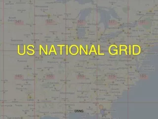
U.S . National Grid Maps. Randy Knippel Dakota County. GIS For Emergency Management. Analysis. Planning. Recovery. Mitigation. Response. Preparation. Damage Assessment. Resource Deployment. Maps!. Red River Floods. Map VK75. 7456. Map 7456. 741565. Romer Scale. 7456.

E N D
U.S. National Grid Maps Randy Knippel Dakota County
GIS For Emergency Management Analysis Planning Recovery Mitigation Response Preparation Damage Assessment Resource Deployment
MapVK75 7456
Map7456 741565
7456 741565
Exercise • Find 3309 Dana Dr., Burnsville, MN • 745 564
Exercise • Brush fire in Neill Park along path • Where is the nearest fire hydrant? • 755 560
Benefits of Standard Maps • Consistency across jurisdictions • Mutual aid, National Guard, FEMA • Public / NGO’s / volunteers • Integration in emergency response training and exercises • Quicker GIS response • Reduced costs • Share templates, software, techniques
Cities With USNG Map Books • Brooklyn Center • Golden Valley • Eden Prairie • Maple Grove • Minnetonka • Plymouth • Ramsey • Oak Grove • Richfield • Hutchinson • Edina • Apple Valley • Burnsville • Eagan • Farmington • Hastings • Inver Grove Heights • Lakeville • Mendota Heights • Rosemount • South St. Paul • West St. Paul