Download
1 / 13
160 likes | 329 Views
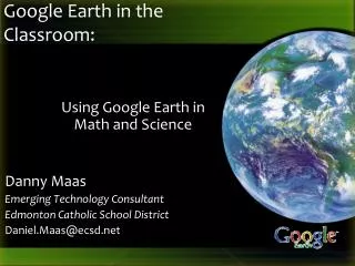
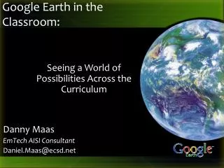
Danny Maas EmTech AISI Consultant Daniel.Maas@ecsd.net. Google Earth in the Classroom:. Using Google Earth in Language Arts & Social Studies. Rationale for Using Google Earth. Universal Design for Learning

E N D
Danny Maas EmTech AISI Consultant Daniel.Maas@ecsd.net Google Earth in the Classroom: Using Google Earth in Language Arts & Social Studies
Rationale for Using Google Earth • Universal Design for Learning • Multiple Means of ExpressionPresenting information and content in different ways (the "what" of learning) • Multiple Means of RepresentationDifferentiating the ways that students can express what they know (the "how" of learning) • Multiple Means of EngagementStimulating interest and motivation for learning (the "why" of learning) • http://www.cast.org/research/faq/index.html#q1 UDL
Hands On With Google Earth • Placemarks • Drawing Paths & Polygons • Adding Web 2.0 Elements onto Google Earth • Recording a Tour • Exporting Items to a .KMZ file • Learn more about Google Earth at http://www.google.com/earth/learn/index.html
Adding Placemarks • Along the top toolbar, the Placemarks button looks like a yellow pushpin • When Clicked, an untitled placemark will be placed onto the screen. • Drag the placemark to the location you want. • In the “New Placemark” window, add a name. • Optionally, add a description or change the style & color. • Clicking on the yellow pin icon can change the image represented
Drawing Polygons • Click the Polygon tool button • Click once for the first point of your polygon • Click again at key points around the shape • Click on your starting point to finish the shape • Name your shape • On the ‘Style, Color’ tab choose the color and opacity of your shape • If your shape is unusually-shaped, you can click and drag the entire path (versus clicking at key points only)
Drawing Paths • Click the Path tool button • Click once for the first point of your path • Click again at key points around the path • Name your path • On the ‘Style, Color’ tab choose the color and thickness of your path • If your path is unusually-shaped, you can click and drag the entire path (versus clicking at key points only)
Adding Web 2.0 Elements • Many web 2.0 tools offer an ‘embed’ feature to embed the multimedia onto other websites, blogs, etc. (E.g. YouTube, Animoto, Voki, etc.) • To embed on Googe Earth, first add a placemark • Copy the ‘embed’ HTML code from the web 2.0 website • Paste the embed code into the description area of the placemark • The next time you click on the placemark your web 2.0 element should display
Recording a Tour • Click the ‘Record a Tour’ button • If you have a path and elements to record in your tour already, click the ‘Play Tour’ button as well • When the ‘Record’ button is pressed, audio and screen movements will be captured • Click the disk icon to name and save your tour which will be added to your ‘Places’ list
Exporting Items to a .KMZ file • Any group of placemarks, polygons, paths, and tours can be grouped together and saved as a single .KMZ file • Right-click on My Places and choose “AddFolder” and name that folder • Click/Drag all the items you want into the new folder • Right-click the folder and choose “Save Place As” • Name the .KMZ file and choose a save location
Language Arts • Google Lit Trips – http://www.googlelittrips.org • Have students create a virtual autobiography (where they were born, where they live & go to school, any extracurricular activity locations – turn it into a tour) • Use a location of somewhere in the world as a creative writing starter • Book trailers, 6-word stories/memoirs, visual poetry • GeoGreeting – Create a message from Google Earth locations http://www.geogreeting.com/main.html
Social Studies • Travel to and view locations being studied in class • Gigapan http://www.gigapan.org/ • View Google Earth Global Awareness layer • Search the Culture & History section of Google Earth gallery http://www.google.com/gadgets/directory?synd=earth&sort-order=desc&cat=culture
Other Uses • Visit a field trip location on Google Earth before you travel • Download pre-made Google Earth tours and information layers • http://www.juicygeography.co.uk/googleearth.htm • http://serc.carleton.edu/sp/library/google_earth/activities.html • http://www.gelessons.com/lessons/ • http://www.gearthblog.com/
http://maasd.wordpress.com/google-earth • Daniel.Maas@ecsd.net