Download
1 / 8
80 likes | 954 Views
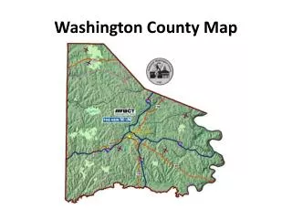
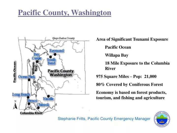
Stephanie Fritts, Pacific County Emergency Manager. Pacific County, Washington. Area of Significant Tsunami Exposure Pacific Ocean Willapa Bay 18 Mile Exposure to the Columbia River 975 Square Miles – Pop: 21,000 80% Covered by Coniferous Forest

E N D
Stephanie Fritts, Pacific County Emergency Manager Pacific County, Washington • Area of Significant Tsunami Exposure • Pacific Ocean • Willapa Bay • 18 Mile Exposure to the Columbia River • 975 Square Miles – Pop: 21,000 • 80% Covered by Coniferous Forest • Economy is based on forest products, tourism, and fishing and agriculture a a
The Local Emergency Management Story Pacific County Emergency Management was formed in 1986 with a mission of preparedness, response, recovery, and mitigation for Pacific County and the cities of Ilwaco, Long Beach, Raymond and South Bend
State and Federal Agency Involvement • In 1994 the local Emergency Management Council directed the focus of the agency to the tsunami hazard following a distant source tsunami warning event in October of the same year. There was little support from state and/or federal agencies. • In 1997 Pacific County contacted Washington State Emergency Management Division requesting assistance in terms of evacuation planning. • State of Oregon
Inundation Mapping • Washington State Emergency Management Division formed a Washington State and Local Tsunami Workgroup. • Request for mapping of existing geologic evidence and inundation potential for a worst case local event scenario.
Partnerships Inundation Evacuation National Tsunami Hazard Mitigation Program Awareness brochures Evacuation maps Evacuation signs Video development Inundation map Products
Local Outreach • Local outreach is essential – message credibility • YTD 2005, PCEMA has delivered the preparedness and mitigation message to approximately 1500 residents through 20 meetings and conferences. Long Beach elected officials forum February 2005 Photo courtesy Washington State Emergency Management Division
“Tsunami Ready” Tsunami Ready does not mean .... Tsunami Prepared “Tsunami Ready” is a program to assess community warning readiness.
Partnership Future • Continued need for data that can be provided through refined inundation mapping and mapping of geologic evidence. • Local emergency management and the scientific community will continue to work together. • On going and future projects must be funded – • Public Education • Vehicular evacuation modeling