Download
1 / 19
190 likes | 329 Views
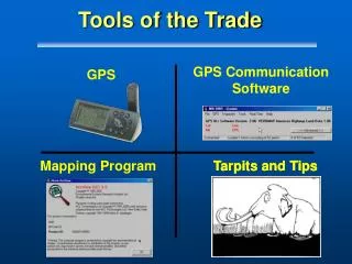
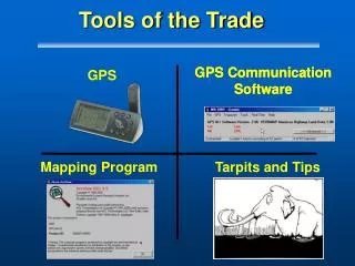
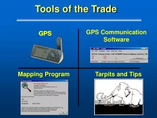
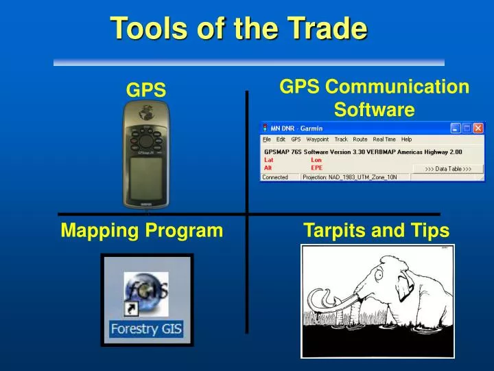
GPS Communication Software. GPS. Mapping Program. Tarpits and Tips. Tools of the Trade . Tools of the Trade - Part II. GPS Communication Program. MN Dept. of Nat. Resources: DNR Garmin. Overview. The Big Picture The Language of GPS Review of GPS Programs Why DNR Garmin?.

E N D
GPS CommunicationSoftware GPS Mapping Program Tarpits and Tips Tools of the Trade
Tools of the Trade - Part II GPS Communication Program MN Dept. of Nat. Resources: DNR Garmin
Overview • The Big Picture • The Language of GPS • Review of GPS Programs • Why DNR Garmin?
GPS Communication Programs • Definition: • The “middleware” that allows a GPS receiver and a computer to communicate with each other. • Not a Geographic Information Systems (GIS) Software
Data Transfer GPS Field Work GIS Fire Incident Plans Cycle
Overview • The Big Picture • The Language of GPS • Review of GPS Programs • Why DNR Garmin?
Language of GPS • GPS stores and sends lots of data: • Lat/Long, Date/Time, Elevation, etc • Information sent to a receiving computer is the Language or Protocol • With Garmins, the choices are • NMEA and Garmin Protocol
Language of GPS • NMEA – National Marine Electronics Association • NMEA 0183 standard • Streams data in text messages in the format of strings • Garmin – Proprietary messages that send additional data
For This Class • Setting to NMEA if using Garmin / PDA and ArcPad • This week we need to ensure the Garmin is set to Garmin Protocol Mapping in Realtime Storing Data - Processing Later
Tools and Accessories • The GPS receiver • Computer • Available COM(Communication port ) • A cable (aserial to USB adapter if needed) • Program to recognize the GPS
Overview • The Big Picture • The Language of GPS • Review of GPS Programs • Why DNR Garmin?
Decision Factors • All Garmins must be supported • Software support is high • Provide efficient data transfer to a GIS • Cost (Program) • Nerd Factor Scale
Many GPS Program Choices Garmin MapSource
Garmin MapSource • Works only with Garmins • Downloads/Uploads waypoints, tracks, routes • Low cost - $100 1:100K US Maps or 1:24K Region (Park) Maps • Limitations • Creates .mps output files • No Shapefile export
Upload Garmin MapSource On Your PC Moving Map In Garmin
Overview • The Big Picture • The Language of GPS • GPS Communication Requirements • Review of GPS Programs • Why DNR Garmin?
Download Upload DNR Garmin and GIS • Data Transfer
Summary • How GPS software fits into the Big Picture • GPS and Computers are made for each other • DNR Garmin as the preferred choice
What’s in Store • Next in the series: • Mapping Programs and GIS