Download
1 / 10
100 likes | 201 Views
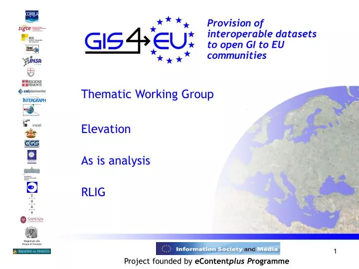
Magistrato alle Acque di Venezia. Provision of interoperable datasets to open GI to EU communities. Thematic Working Group Elevation As is analysis RLIG. Project founded by eContent plus P rogramme. Elevation Data sets and meta data. Meta data - Elevation Data set GIS4EU D2.2.

E N D
Magistrato alle Acque di Venezia Provision of interoperable datasets to open GI to EU communities Thematic Working Group Elevation As is analysis RLIG Project founded by eContentplus Programme
Elevation Data sets and meta data Meta data - Elevation Data set GIS4EU D2.2. III technical meeting – TWG Elevation September 2008
Elevation Data sets and meta data Meta data - Elevation Data set GIS4EU D2.2 III technical meeting – TWG Elevation September 2008
Elevation Data sets and meta data Meta data - Elevation Data set GIS4EU_D2.2 What about modeling Where there are only the vector elements for Elevation but not any model ? III technical meeting – TWG Elevation September 2008
Where DTM not yet carried out Merging of DTM with different accuracy and formats To Share the vector elements To Use other DTM: SRTM or similar Modelig using the existing elements GIS4EU common Elevation model With a meta data layer for the different targets GIS4EU common Elevation model
RLIG Digital Terrein Model • State of art The DTM was carried out from elevation irregular points and contour lines of DBPrior10K using a Delaunay Interpolation. The originally idea it was of using inferred break lines to constrain the model to pass from morphology benchmark. They could be: hydrographic network, falaises, cliff, etc. But at that time they were only 2d • further development use inferred break lines and break point to constrain the model to pass from morphology benchmarks like: hydrographic network, falaises, cliff, coast line, lakes, top of mountain, etc.. At now with the DBtopo we have these elements in 3d Provision of interoperable datasets to open GI to EU communities May 2008 www.regione.liguria.it
Reference Documents correspondence between INSPIRE and RLIG Elevation input classes INSPIRE elevation classes • Contour line • •altitude • • RLIG elevation classes Breakline • category (crest, thalweg, other) Bathimetry Spot height • altitude • category (summit, mountain pass, …) • name III technical meeting – TWG Elevation September 2008
Semantic correspondence between INSPIRE and RLIG Elevation input classes and attributes INSPIREContour line and RLIGdp_curve_liv_07 • INSPIREaltitude <semantic correspondence> • RLIG quota INSPIREBreaklineand RLIGdp_curve_liv_07 • INSPIREcategory(crest, thalweg, other) <semantic correspondence>? • RLIG tipo • INSPIREaltitude <semantic correspondence> • RLIG quota INSPIRESpot heightand RLIGdp_punto_quotato_07 • INSPIREaltitude <semantic correspondence> • RLIG quota • INSPIREcategory name <semantic correspondence>? • RLIG tipo Reference Documents
Reference Documents 2007- Inspire specifications inspireDataspecD2_3v2 0_DefinitionOfAnnexThemesAndScope.pdf correspondence between INSPIRE and RLIG Elevation classes • Digital Elevation model for land, ice, ocean. Includes terrestrial elevation bathymetry and shoreline input: • contour lines • break line -> missing in RLIG elevation model • spot height • bathymetry -> missing in RLIG elevation model • sounding -> missing in RLIG elevation mode • High and low water line -> missing in RLIG elevation model draft document on the deliverable D3.5 about the elevation model july 2008 www.regione.liguria.it
TTN intergraph(MGE-Mta): buffer of 500 m around the shape of CTR • GRID intergraph (MGE-Mta): cell of 5mx5m, 16 bit • ASCII: withoutheader • ASCII Esri: with header Elevation modeling DTM output • Geotiff 16 bit signed of every ctr shapes ->mosaic to get the DTM of all Liguria Region using SRTM data (90 m grid size) and Spot-5 data for areas outside the Liguria’s boundary. Provision of interoperable datasets to open GI to EU communities May 2008